Category: Landing Pages
-
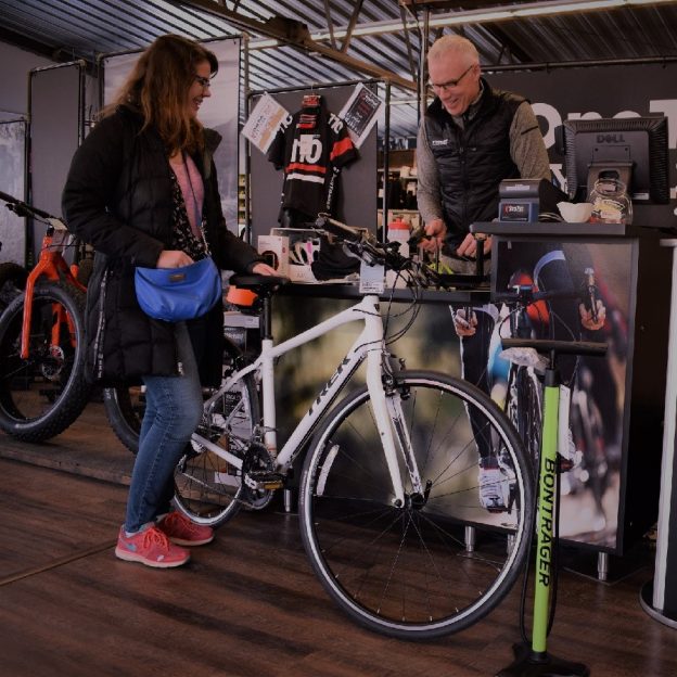
Bike gear closeouts and new products reviews
As the e-transportation industry continues to develop, we occasionally list bicycle inventory closeouts that you will find here next to our product review items. So please bookmark this page and check back often as we refresh this page with new items and deals to enjoy that next adventure. New product reviews on items for…
-
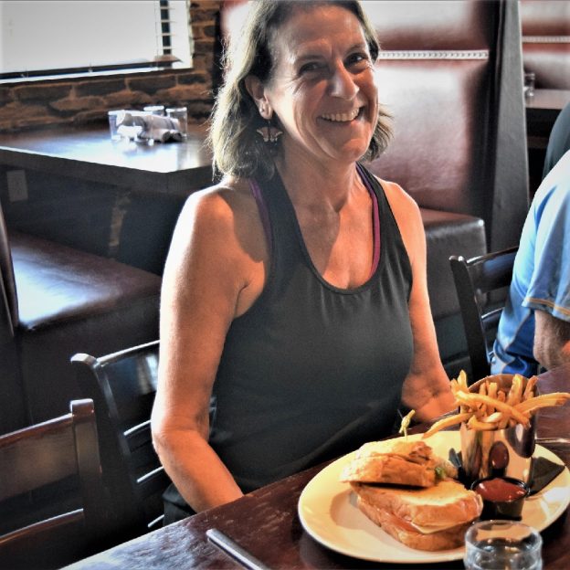
Good eating tips along Minnesota’s trails
Here are some tips for good eating along Minnesota’s trails. Maybe it’s to a new area you haven’t had the chance to explore yet. When visiting a new town, or one that you may not have been to in a while, where is the best place to eat, find that afternoon snack or a refreshing…
-
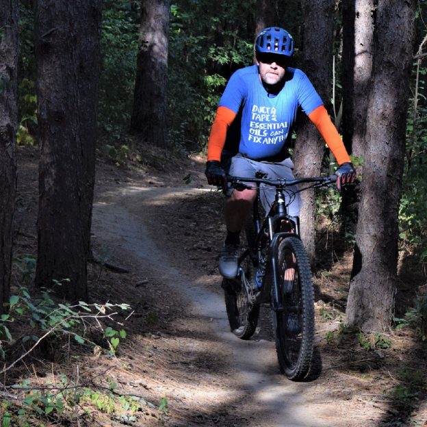
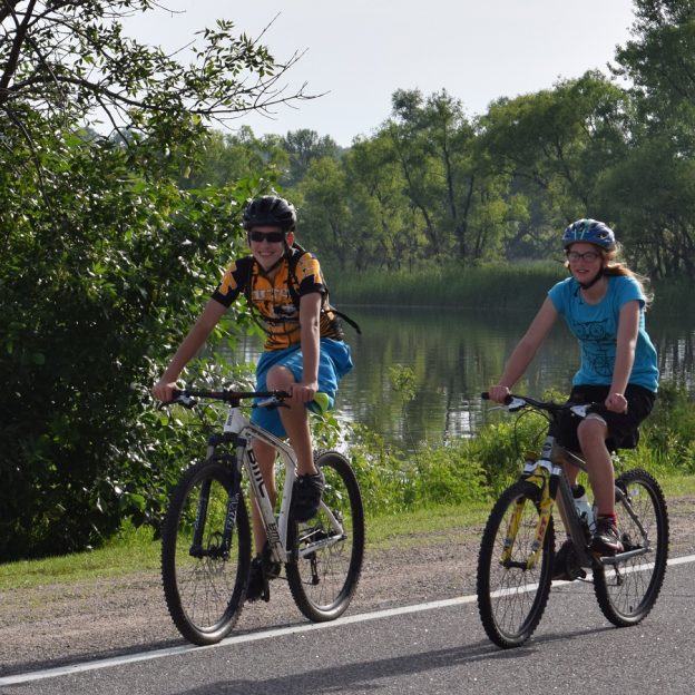
Northern Minnesota’s fun mountain bike trails
In Northern Minnesota’s vast forests, find an extensive network of rugged singletrack and easy-to-moderate mountain bike trails to enjoy. Explore the following list, with many state, regional, and city parks that maintain off-road trails to provide riders at every skill level with a fun experience. Whether seeking a serene roll or a challenging thrill, Northern…
-
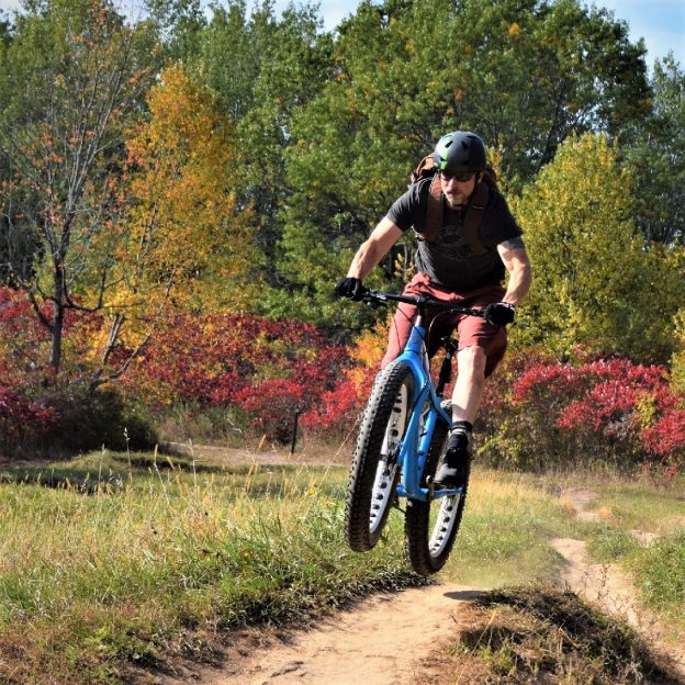
Southern Minnesota’s fun mountain bike trails
In Southern Minnesota’s open prairies, meandering rivers, and stunning bluffs, find an extensive network of rugged single-track and easy-to-moderate mountain bike trails to enjoy. Explore the following list, with many state, regional, and city parks that maintain off-road trails to provide riders at every skill level with a fun experience. Whether seeking a serene roll…
-
The Coon Rapids 10-mile bike loop makes it easy to connect and discover
Named for the turbulent waters in the Mississippi River at the mouth of Coon Creek, the city of Coon Rapids is a fun place to explore on the 10-mile bike loop. One of the nine communities in the Twin Cities Gateway it’s a perfect destination for a bike vacation with all the trail opportunities that…
-
Cedar Falls, a gateway to some of Iowa’s best bike trails
The Cedar Falls area has something for both the seasoned cyclist and novice rider. This is also a bike friendly community for the off road cyclist (cycle cross, fat bike, mountain biking and BMX), with several opportunities waiting your arrival.
-
Through the seasons nature calls riding along the trails in Coon Rapids
Similar to the early 1800s when Coon Rapids was a stopping point on the Oxen Trail from the Red River Valley to St. Paul, hospitality is still key. d. Today Coon Rapids and its neighboring Twin City Gateway communities, offer those passing through a place to stay and play throughout the year.
-
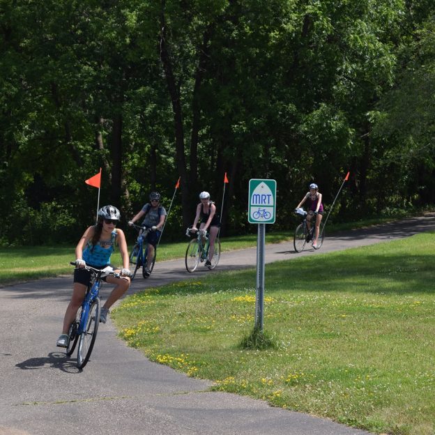
The Fridley 10-mile bike loop lets visitors discover the MRT
Named for an early settler along the east bank of the Mississippi River. Today the bike-friendly Fridley 10-mile bike loop lets visitors discover art, nature and beautiful flower gardens along the way. With many cycling paths connecting to both the Mississippi River Trail (MRT) and the Rice Creek Trail, bike touring is easy. One of…
-
The Lino Lakes 10-mile bike loop is a true Minnesota experience
When visiting Lino Lakes, it can feel like you’re smack dab in the middle of northern Minnesota, especially while enjoying the trail loops along the Rice Creek Chain of Lakes. One of nine Twin Cities Gateway communities, the area, supports a large Blue Heron rookery and hosts the Blue Heron Days Festival held in the…
-
The Blaine 10-mile bike loop can add more memories to a sporting event
With miles of connecting bike trails around the city of Blaine, sports fans and visitors alike will find many phenomenal sights on this 10-mile bike loop. One of the nine communities of the Twin Cities Gateway this city is a perfect destination for a bike vacation tied to a sporting event. The city offers many…