Tag: mountain biking destinations
-

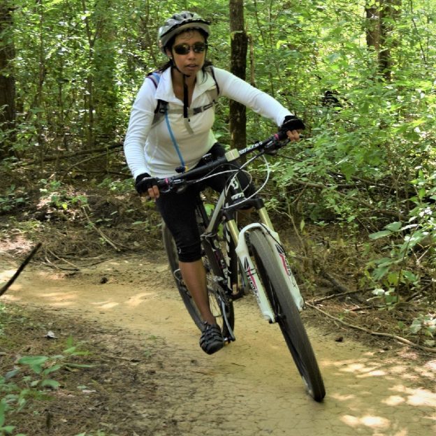
Central Minnesota mountain bike trails can add fun throughout the year
In Central Minnesota, you will find an extensive network of single-track and easy-to-moderate mountain bike trails to enjoy in spring, summer, Fall, or Winter. Explore the following list, with many state, regional, and city parks that maintain off-road trails to provide riders at every skill level with a fun experience. Whether seeking a serene roll…
-
Twin Cities Metro mountain bike trails to enjoy
In the Twin Cities Metro Area, find an extensive network of rugged single-track and easy-to-moderate mountain bike trails to enjoy. Explore the following list, with many regional and city parks that maintain off-road trails to provide riders at every skill level with a fun experience. Whether you are seeking a serene roll or a challenging thrill,…
-
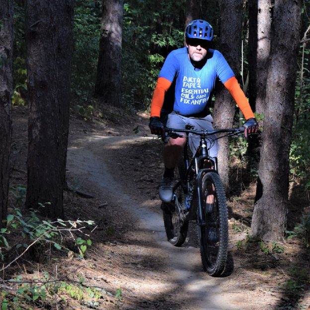
Northern Minnesota’s fun mountain bike trails
In Northern Minnesota’s vast forests, find an extensive network of rugged singletrack and easy-to-moderate mountain bike trails to enjoy. Explore the following list, with many state, regional, and city parks that maintain off-road trails to provide riders at every skill level with a fun experience. Whether seeking a serene roll or a challenging thrill, Northern…
-
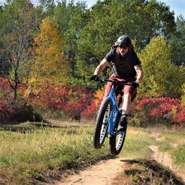
Southern Minnesota’s fun mountain bike trails
In Southern Minnesota’s open prairies, meandering rivers, and stunning bluffs, find an extensive network of rugged single-track and easy-to-moderate mountain bike trails to enjoy. Explore the following list, with many state, regional, and city parks that maintain off-road trails to provide riders at every skill level with a fun experience. Whether seeking a serene roll…