
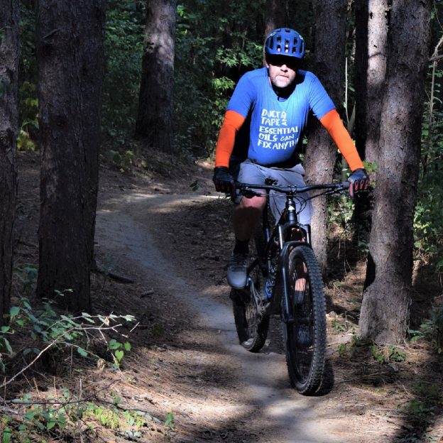
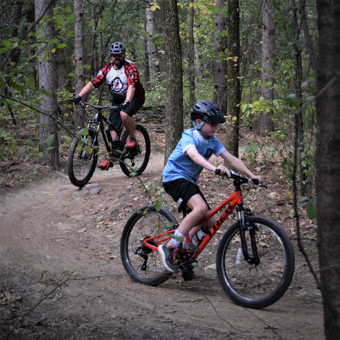
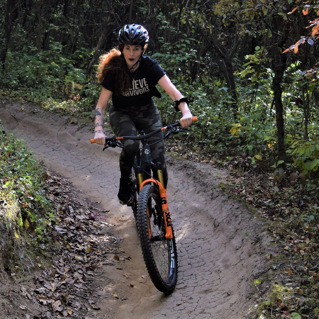
In Northern Minnesota’s vast forests, find an extensive network of rugged singletrack and easy-to-moderate mountain bike trails to enjoy. Explore the following list, with many state, regional, and city parks that maintain off-road trails to provide riders at every skill level with a fun experience. Whether seeking a serene roll or a challenging thrill, Northern Minnesota has a mountain bike park waiting. For that next Adventure you are planning, here are more than 50 trail systems to choose from.
Fun Northwestern Minnesota Mountain Bike Trails
Bemidji
Lake Bemidji State Park: 5 miles
Beginner to advanced: Park has much to offer with dirt and packed grass trails. The system is well maintained, and the forested terrain has some challenging sections.
Map
Movil Maze: 8 miles
This system lives up to its name, so bring a compass and use the map of the area. There are several spurs that branch off this trail. The trail is a combination of grassy sections and dirt singletrack with ramps. Parts of the system are groomed for fat bikes in the winter.
Map
Callaway
Maplelag: 23 miles
Here you will find a mixture of challenging singletrack and grassy double track, easy to expert on well-kept trails through hardwood forest. Maplelag Resort offers dining and lodging options. About 25km are groomed for fat biking in the winter.
Map
Detroit Lakes
Detroit Mountain: 10 miles
This mountain bike park has trails perfect for beginners and experts. Ride contour flow trails, take the lift up to the top, then zip down the downhill flow trails, or ride the skills park. Lodge with bathrooms, bar, and concessions are onsite. Connecting trail takes you to Mountain View Rec Area trail. Groomed fat bike trails are available in the winter on select routes. Map
Dunton Locks County Park: 3 miles
While in the area, find trail loops along the shores between Lake Sallie and Muskrat Lake. Some wind through hardwood forested hills. Trails are shared with hikers and are groomed for skiing in the winter.
Map
Mountain View Recreation Area: 6 miles
Single track loops through mature, mixed hardwood forest. Trails are laid out to be challenging. Connecting trail takes you to Detroit Mountain Rec Area.
Map
Lake Bronson
Lake Bronson State Park: 5 miles
Good variety of accessible trails and loops to allow for different choices. The trails go through forest and prairie and are a mixture of grass and gravel.
Map
Moorhead
Gooseberry Mound Park: 3.5 miles
Flat and wide singletrack loops on the banks of the Red River of the North. Connects to a short skills-building trail with bridges and rock gardens in Horn Park. This park is beginner-friendly because obstacles have ride-around options. Groomed for fat bikes in the winter.
Map
M.B. Johnson Park: 4 miles
Singletrack loops along the banks of the Red River of the North. Trailhead has bathrooms, water, and a shelter. Groomed for fat bikes in the winter.
Map
Iwen Park: 7 miles
Beginner-friendly trail consisting of a north and south section. Not groomed for fat bikes, but usually well-traveled by snowshoers.
Map
Roseau
Hayes Lake State Park: 5 miles
Beginner trail on grassy, level terrain in a wooded area. Trails start at Hayes Dam.
Map
Mount Roseau: 6 miles
Twisting trails on rolling hills in an open, grassy area, rated beginner to intermediate. Lots of switchbacks on this 60-foot artificial hill keep you on your toes.
Map
Ulen to Crookston
Agassiz Recreational Trail: 53 miles
This abandoned railroad grade is a designated multiple-use trail shared by pedestrians, cyclists, equestrians, and ATV riders. It passes through Ulen, Twin Valley, Gary, Fertile, and Crookston and offers scenic views of the Sand Hill and Wild Rice Rivers while passing many farm fields.
Map
Northeastern Minnesota Mountain Bike Trails
Northeastern Minnesota has the Sawtooth Mountains along the North Shore of Lake Superior, ski hills at Spirit Mountain and Giant’s Ridge, the deep forests of the Superior and Chippewa National Forests, the 135-mile Arrowhead State Trail, and the pristine beauty of some of the state’s most beautiful state parks.
Carlton
Jay Cooke State Park: 13 miles
This trail system combines grass, dirt, and pavement with spectacular views. Silver Creek Trail and Summer Trail are groomed for fat bikes in the winter.
Map
Trails in the Chippewa National Forest
State and national forests offer a variety of areas to explore by bike. Some trails are exclusively non-motorized, while others are shared with various users, including OHVs and equestrians.
Simpson Creek Trail: 13 miles
Deer River, MN
Enjoy rolling topography through pines and along glacial eskers, with overlooks onto Cut Foot Sioux Lake and journeys into the cedar swamp. Cyclists travel on both old tote roads and dirt trails. Access at the Cut Foot Sioux Visitor Center or Eagle Nest Road (FR2198).
Map
Cut Foot Sioux Trail: 18 miles
Deer River, MN
An extension of the Simpson Creek Trail, this is an 18-mile loop along old Forest Roads with gravel and sand. Access from the Cut Foot Sioux Visitor Center or the Hwy 46 Wayside Rest 5 miles north of the Center.
Map
Suomi Hills Trail: 19 miles
Marcell, MN
The remote and stunning Suomi Hills has 19 miles of hiking, biking, and ski trails and is part of a semi-primitive non-motorized area. The rolling topography offers mountain bike trails for intermediate and advanced cyclists. Access the Suomi Hills area from the Highway 38 National Scenic Byway.
Map
Trout Lake Trail: 11 miles
Marcell, MN
This is a nice short scenic trail into the woods and out onto the Trout Lake Estate, a national historic site featuring a 1920 lumber baron estate. Access from the north end of Trout Lake off Co 326 or the south end near FR 2065 and FR 2065.
Map
Cloquet
Pine Valley Trails: 5 miles
Stacked loops rated beginner to intermediate with switchbacks and flow sections through stands of pine trees and open areas. These gravel trails are machine built and feature two expert and one intermediate jump trail. Because of the nature of the soil, trails remain open even when wet. Skinnies and gap jump with b-lines keep things interesting. Groomed for fat biking in a park that also has ski trails. A dirt parking lot with a porta potty is available adjacent to the Cloquet hockey arena.
Map
Cohasset
Tioga Trails: 25 miles
This new mountain bike trail system in the location of a former mine pit offers trails for all skill levels as well as jump lines, flow trails, and a beginner skills section. Groomed for fat bikes in the winter.
Map/Info
Duluth Area Mountain Bike Trails
Duluth has been named Gold Level Ride Center by the International Mountain Biking Association (IMBA), one of six destinations worldwide. The Cyclists of Gitchee Gumee Shores (COGGS) maintain and develop Duluth’s extensive trail system.
Craft Connector: 1.1 miles
The two-way trail connects the Enger Tower Scenic Overlook and the Lincoln Park Craft District. The downhill ride from Enger has some jump opportunities.
Downer Park: 0.5 miles
A work in progress for the advanced rider. More trails coming.
Duluth Traverse: 40 miles
As beginner-level singletrack, the Duluth Traverse (DT) connects the city’s trail networks at Lester Park, Hartley Park, Piedmont-Brewer Park, Spirit Mountain, and Mission Creek. Currently, 75% of the DT is on singletrack trails, the balance is on gravel roads and some paved road sections. It’s a work in progress and will eventually be all standalone singletrack.
Hartley Park: 9 miles
Beginner to intermediate trails through the hardwood forests and open marsh areas of Hartley Nature Center.
Lester Park: 12.5 miles
Beginner to intermediate. Beautiful views of the river valley and smooth, flowing single track. There are some rocky or rooty sections, but overall the trail is non-technical and the best option in the Duluth area if you are newer to mountain biking. Groomed for fat tire biking in the winter.
Mission Creek: 23 miles
Beginner to intermediate. Fast and flowing singletrack with many bridges, berms, and rollers. This trail network traverses a dramatic, heavily forested landscape with spectacular views of the St. Louis River Valley and Jay Cooke State Park. Groomed for fat biking in the winter.
Piedmont & Brewer Trails: 9 miles
Intermediate to advanced, challenging trails with bridges and features. Significant elevation changes with large rocky bluffs. Groomed for fat biking in the winter.
Spirit Mountain Bike Park
Beginner to advanced. Outstanding views of Lake Superior are the norm at Spirit Mountain. The terrain is demanding but is sure to reward with amazing vistas. Lift-assisted downhill mountain biking and fat biking.
Stone Age: 1.2 miles
Short but quite a workout, even for advanced riders. A long, technical uphill is rewarded with awesome views and the way down has challenges around every corner. Just north of the Mission Creek trails.
Duluth to Grand Marais
C.J. Ramstad/North Shore State Trail: 146 miles
This remote and rugged backcountry trail travels through wilderness areas on Minnesota’s North Shore. It’s primarily used for snowmobiling but is open to hiking and biking and, in parts, ATV riding.
Map
Ely Area Mountain Bike Trails
Hidden Valley Recreation Area: 23 miles
Hidden Valley’s ski trails become a mountain bike paradise during the warmer months. In addition to 13 miles of wide, grassy paths, there are another 10 miles of singletrack trail. The system currently consists of five loops rated beginner to expert:
– Magic Carpet: Any level of rider. Balance of climbs and flowy downhills
– The Big Pines Loop: Scenic views as you drop into and climb out of a narrow slot canyon.
– Erratic Behavior: Good climbs, big boulders, and rock gardens with challenging terrain.
– The Outback: The most difficult and longest trail into the far corners of Hidden Valley. Great vistas, good drops, the opportunity to get some air, and rocks to climb.
– Ely Airlines: This short, one-mile trail features jumps, drops, banked turns, and other challenges.
The singletrack trail is groomed for fat biking in the winter. Hidden Valley also has a one-mile mountain biking skills course near the club chalet.
Info
Fernberg Tower Area
This area is located along Fernberg Road, east of Ely. Several county and forest roads intersect, giving an opportunity to explore the Superior National Forest, visit the hill that once held the Fernberg Lookout Tower, and visit several lakes. The route includes both gravel and natural surface trails.
More Info
Nickel Lake Area: 12 miles
This area provides rolling wooded hills, grassy bogs, and beaver dams. There is access to several isolated lakes and an abandoned granite quarry that last operated in the 30s.
More Info
Fenske Lake Area
This area has many opportunities to explore forests and logging roads. Trails cross over rolling hills and pass through spruce forests.
More Info
Grand Marais
Pincushion Mountain: 10 miles
Challenging trails with awesome Lake Superior views. Switchbacks, bridges, rock gardens, and lots of elevation changes. Groomed for fat tire biking in the winter.
Map
Grand Rapids
Forest History Center: 5 miles
Explore the Forest History Center by bike. Beginner trail through 1900s logging camp and virgin timber forest.
More Info
Legion Trails: 7 miles
Hand-built singletrack trail ranging from fast and flowing to tight, twisty, and technical. Near Grand Rapids High School.
Map
Grand Rapids to Ely
Taconite State Trail: 165 miles
The popular multipurpose trail moves through out-of-the-way forests and lakes and stretches 165 miles from Grand Rapids to Ely. It intersects with the Arrowhead State Trail just west of Lake Vermillion. Passes through Bear Head Lake State Park. Some areas may be impassable in the summer.
Map
Hinckley
Saint Croix State Park: 21 miles
Wide, grassy trail in the woods with some dirt sections on the Matthew Lourey State Trail.
Map
On the Mesabi Iron Range
Biwabik
Giants Ridge: 9 miles
Giants Ridge offers lift-served mountain biking on eight downhill gravity trails ranging from easy to expert. The Mountain Bike Park has over nine miles of purpose-built trails on rolling hills through the Superior National Forest. In the winter, 60km of the groomed ski trails are available for fat biking and the resort also offers lift-served downhill fat biking on select downhill runs.
Map/Info
Chisholm
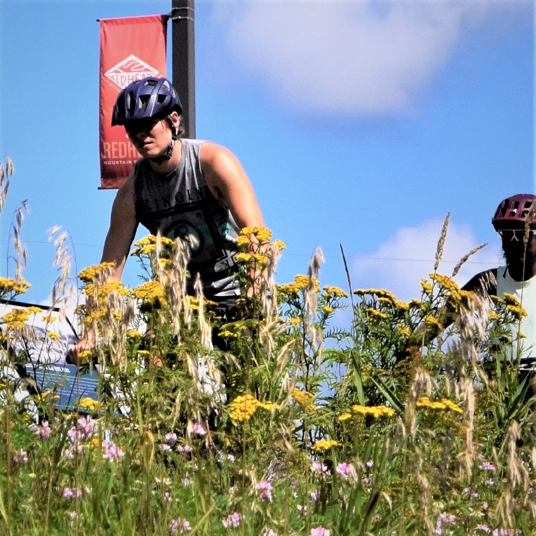
Redhead Mountain Bike Park: 25 miles
A new, developing trail system on the grounds of the Minnesota Discovery Center as of June 2020. Built around a series of former mine pits, this challenging trail system has some beginner trails but is mostly for intermediate to advanced riders. Punchy climbs and descents, plenty of rock gardens, and jumps make for a great ride, while the scenery is nothing short of spectacular with its ravines, red cliffs, and views of deep, blue lakes. There’s even a waterfall crossing on Fractured Falls Trail. Groomed for fat bikes in the winter.
The goal is to eventually offer trolley rides to some of the far-out trail loops near the Glen location, a restored, historic mining village. The Discovery Center has restrooms and a restaurant.
Map/Info
Hibbing
Maple Hill Park: 4 miles
Intermediate, two-way singletrack with a dirt surface in a 133-acre city park.
Map
Virginia
Big Aspen Trail: 21 miles
The Big Aspen Trail is 21 miles in the Superior National Forest with many loop opportunities and beautiful scenic vistas. The trail is part of old logging roads and abandoned railroad grades from the Virginia and Rainy Lake Lumber Company. It is a multi-use trail, allowing mountain bikes, ATVs, horses, and in the winter, cross-country skiers.
Map
Lookout Mountain: 11 miles
The trail system has dedicated mountain bike singletrack with berms, bridges, and rock gardens in the Superior National Forest. Once you reach the top of a large hill it’s mostly rolling hills through forestland. There are a few large rock features and some challenging intermediate skill-level sections. The trails are two-way; look out for oncoming bikes and hikers.
Map
Side Lake
McCarthy Beach State Park: 17 miles
A choice of nice rides is available on the park trails and the low-maintenance St. Louis County roads inside the park boundary. Bikers can venture out of the park on the Taconite State Trail.
Map
Tofte/Lutsen
Britton Peak: 5.5 miles
Trails are intermediate to advanced with a short beginner loop. Enjoy views of the Temperance River Valley and advanced features like a rock garden and boardwalk. Connects with High Climber and Jackpot Trails.
Map
Jackpot and High Climber Trails: 16 miles
This unique ride follows the rolling ridges overlooking Lake Superior and features a machine-built flow trail with big berms, rock gardens, drops, jumps, and rock-armored creek crossings in a Wilderness setting. It’s laid out to be beginner-rated, but technical B-line options are up to the expert level. Parking is available on either end at Britton Peak Trailhead (Tofte) and Ski Hill Road Trailhead (Lutsen Mountains) and on Onion River Road.
While the trail is point-to-point, there are options for a loop ride. From Lutsen Mountains: Ride north on Ski Hill Road to Barker Lake Road, take Barker Lake Road to Honeymoon Trail (USFS 164), and head west on Honeymoon Trail to Sawbill Trail. From there, ride the pavement south to Britton Peak. Follow Jackpot and High Climber back to Lutsen. This option adds approximately 22 miles. Another option is to take the Gitchi Gami Trail. Onion River Road bisects the trail system and serves as the dividing line between High Climber to the east and Jackpot to the west.
Map
Tower to International Falls
Arrowhead State Trail: 135 miles
Approximately 69 miles of the trail are suitable for mountain biking in the summer, but there may be wet areas. Intersects with the Taconite State Trail. Mountain bikers should call the nearest Parks and Trails Area office before leaving for their destination to inquire about local trail conditions and amenities. This is a multi-use trail, including horseback riding.
Map
Two Harbors
Donald D. Ferguson Demonstration Forest: 10 miles
Easy beginner trails through boreal woods in the Superior National Forest, shared with hikers. The trail system is set to expand, with the ultimate goal of 15-20 miles. Groomed for fat bikes in the winter, skis, and snowshoes are also allowed.
Map
Split Rock Lighthouse State Park: 3 miles
Easy trail with a mix of dirt and grass shared with hikers. No singletrack. Stunning views of the Split Rock Lighthouse along Lake Superior. Can be combined with a return on the paved Gitchi Gami Trail for a 6-mile loop. The park grooms this loop and another 3 miles for fat biking in the winter.
Map
Split Rock Wilds Trail: 22 miles
The newest mountain bike trail system in northeastern Minnesota offers a challenging, point-to-point backcountry riding experience connecting the new Shipwreck Creek campground at Split Rock Lighthouse State Park with the Cove Point Lodge property. Trail conditions vary from rugged and rocky to fast and flowy and include multiple advanced and expert-level features like jumps, rock rolls, and drops. There is, however, a beginner-friendly loop near the campground.
Map