
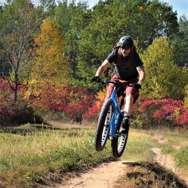
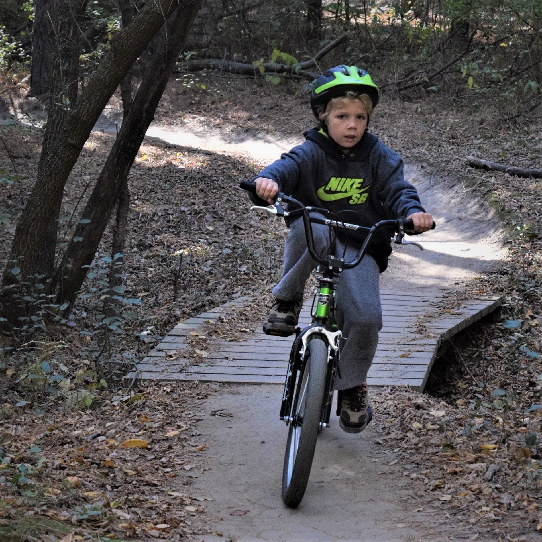
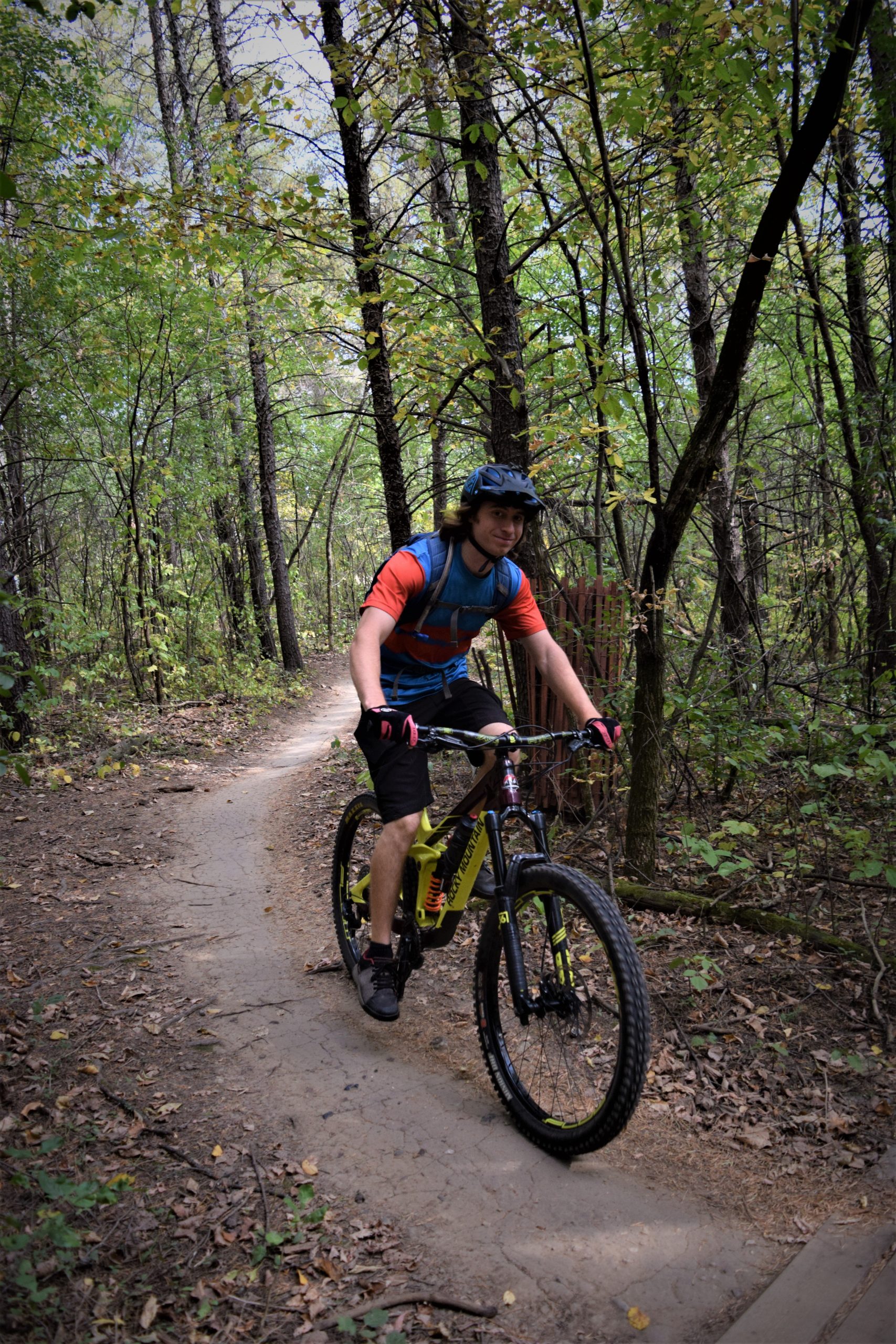
In Southern Minnesota’s open prairies, meandering rivers, and stunning bluffs, find an extensive network of rugged single-track and easy-to-moderate mountain bike trails to enjoy. Explore the following list, with many state, regional, and city parks that maintain off-road trails to provide riders at every skill level with a fun experience. Whether seeking a serene roll or a challenging thrill, Minnesota has no shortage of mountain bike trails to explore. For that next Adventure you are planning, here are more than 20 trail systems to choose from.
Southern Minnesota’s fun mountain bike trails
Albert Lea
Myre Big Island State Park: 7 miles
The State Parks trails are well-marked trails shared with hikers through forested hills and by Albert Lea Lake. Riders will find several beginner to intermediate-skill-level trails but limited access when wet.
Map
Austin
Schindler’s Way: 5 miles
This flat and fast singletrack system flows through forest and prairie and sweeps along the Cedar River near the Hormel Foods campus and Todd Park. Groomed for fat biking in the winter. A great beginner trail.
Map
Faribault
Caron Park: 2 miles
Beginner and intermediate singletrack loops with a dirt surface through a completely wooded area. Runs by Prairie Creek and features a natural waterfall. One interesting feature is a large erratic boulder on the intermediate loop. Trails are bi-directional.
Info/Map
River Bend Nature Center: 10 miles
This multi-use dirt and grass trail is shared with hikers and travels through hardwoods along the Straight River with scenic bluff views. Fat bikes are allowed in the winter but need to stay off groomed ski trails.
Map
Shattuck-St. Mary’s: 3 to 6 miles
The trails at Shattuck-St Mary’s are built into the side of the riverbank above the Straight River in Faribault. Hand-built, old-school singletrack traverses up one ravine and down the next. Although the trails aren’t rated as expert, fitness, and skills for riding switchbacks are key as you make your way up and down the many ravines. The trail is an out-and-back with a loop at both ends. The system is a work in progress, with about 80% built.
Map
Henderson
Ney Nature Center: 1.5 miles
Trail one is rated intermediate, and trail two is rated difficult with berms, drops, and a rock garden. Trail access is not on Ney Nature Center property but just north of the intersection of Henderson Station Road and County Road 19.
Map
Jackson
Belmont Park: 5.3 miles
Beginner to Advanced natural surface singletrack under the mature canopies of Oak, Walnut, and Ash trees with a beautiful view of the Des Moines River. Bobsled-style flow trails on intermediate and advanced portions of the trail system with plenty of switchbacks, berms, and jumps as they drop 120 feet into the river valley. The one-mile beginner trail near the parking lot is balance-bike friendly. Other amenities are an enclosed log shelter house with a fireplace, picnic tables, outdoor grills, a bonfire area, a hand pump for water, and an enclosed pit bathroom. Map
Lynd
Camden State Park: 5.25 miles
The State Park offers a beginner to an advanced mixture of fire roads and singletrack rolling through hardwood forests and prairie terrain. A highlight is the 1-mile rake-and-ride trail section on top of the river valley.
Map
Mankato
Ft. LeHillier Skills Trail: 2.2 miles
A short skills-building area south of Mankato on the Blue Earth River with rollers and berms winding through the wooded river bottom contours. This is a perfect trail to get new riders acquainted with their bike. Trails are bi-directional. Located on the intersection of HWY 66 and 90 just south of Mount Kato.
Map
Kiwanis Mountain Bike Trail: 6 miles
Two single-direction loops on the Minnesota River. The short beginner loop consists of rolling, berm-filled singletrack in the bottom river land with no obstacles or challenging climbs for the novice rider. More advanced features and options like log piles, jumps, and drops can be found on “B” lines with ride-around on the intermediate loop. A kids’ loop and skill park are accessible from the trailhead.
Map
Mount Kato: 7 miles
Mount Kato has roughly seven miles of cross-country singletrack winding through the wooded hills of their ski area for novice to expert riders. Riders who like a challenge will enjoy the climbs and descents.
Map
Seven Mile Creek: 8 miles
Seven Mile Creek’s multi-use bi-directional trails feature little technical challenge but some climbs and descents are steep and challenging. The area transitions from the Minnesota River to grasslands in the valley, to deciduous forests on either side and up the bluffs of the creek.
Map
Northfield
Sechler Park: 1.75 miles
This park is designed to introduce beginners to mountain biking and runs along the woods on the shore of the Cannon River. Part of this system is a skills park with berms, jumps, drops, log piles, a teeter-totter, and more. Connects to Heath Creek Trail across County Road 78.
Map
Heath Creek Trail: 1 mile
Across County Road 78 from the Sechler Park Trails, you’ll find a short, more technical trail with a rock garden along Heath Creek. Great views in a densely wooded area.
Map
Owatonna
Kaplan’s Woods: 6 miles
Moderately difficult singletrack through hardwood forest in a 225-acre park setting. Some log jumps add challenges. The Owatonna Trails Association maintains six miles of the mountain bike trail and grooms for fat bikes in the winter. Map
Red Wing
Memorial Park Trails: 12 miles
This beginner to advanced trail system has many options, with long climbs, challenging obstacles, outstanding views, and twisting singletrack. Select a ride that matches your skills and enjoy the view off Sorin’s Bluff. 7.5 miles of this system is dedicated singletrack; the rest is shared with hikers.
Map
Rochester
Eastwood Park: 7 miles
Find three easy and two intermediate trail loops by Eastwood Golf Course to enjoy. The trail system is mostly wooded, with many tight twists and turns along the Zumbro River.
Map
Gamehaven Trails: 12 miles
The Gamehaven offers five easy and two intermediate singletrack loops with scenic overlooks on Gamehaven Lake. Groomed for fat bikes in the winter.
Map
Saint Peter
Traverse des Sioux: 11 miles
This system consists of a
weaving through the trees and over the undulating flood plain. The trails are bi-directional, with trail difficulty rated easy and beginner friendly. These trails have some of the area’s best views of the Minnesota River.
Map
Winona
Holzinger Lodge Trail: 7 miles
Advanced: One of Southern Minnesota’s best single-track mountain bike trails with short, steep climbs, winding curves, and excellent views of the Mississippi at Bluffside Park. Some winter trails are available.
Map