
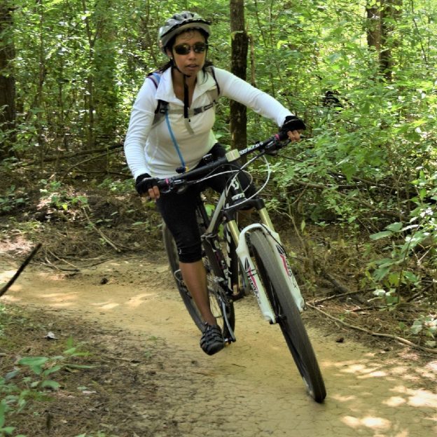
In the Twin Cities, you will find an extensive network of mountain bike trails, offering rugged single-track and easy-to-moderate trails to enjoy. Explore the following list, with many regional and city parks that maintain off-road trails to provide riders at every skill level with a fun experience. Whether seeking a serene roll or a challenging thrill, there’s no shortage of mountain bike trails in the Minneapolis-St. Paul area. For that next Adventure you are planning, here are more than 25 trail systems to shred.

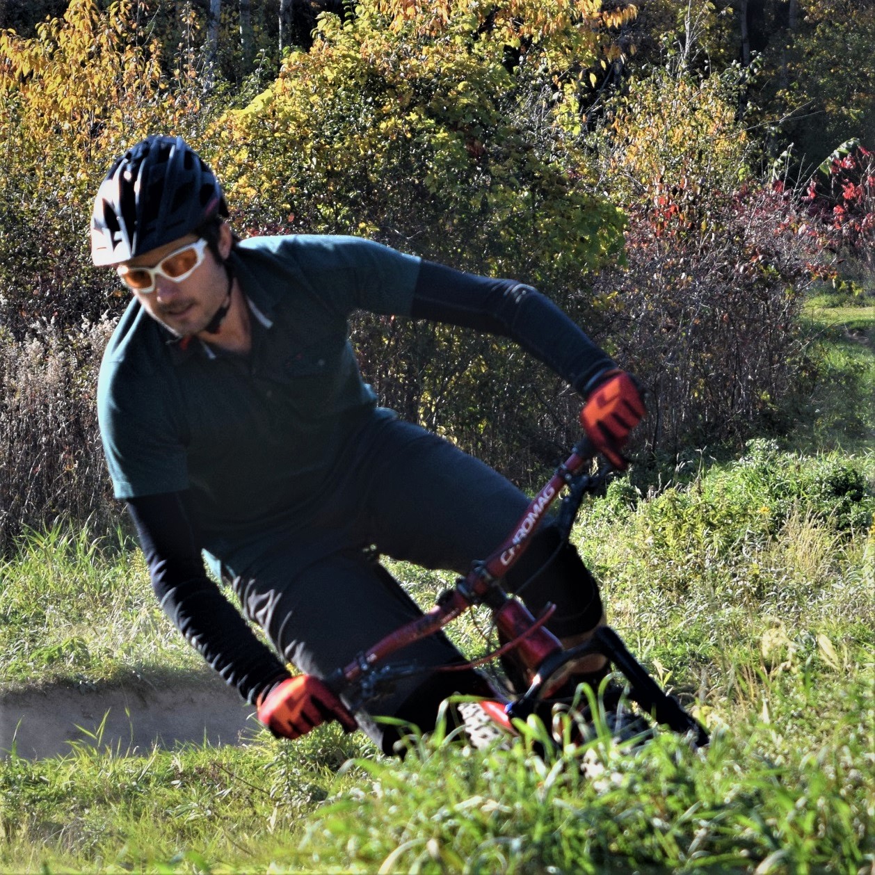
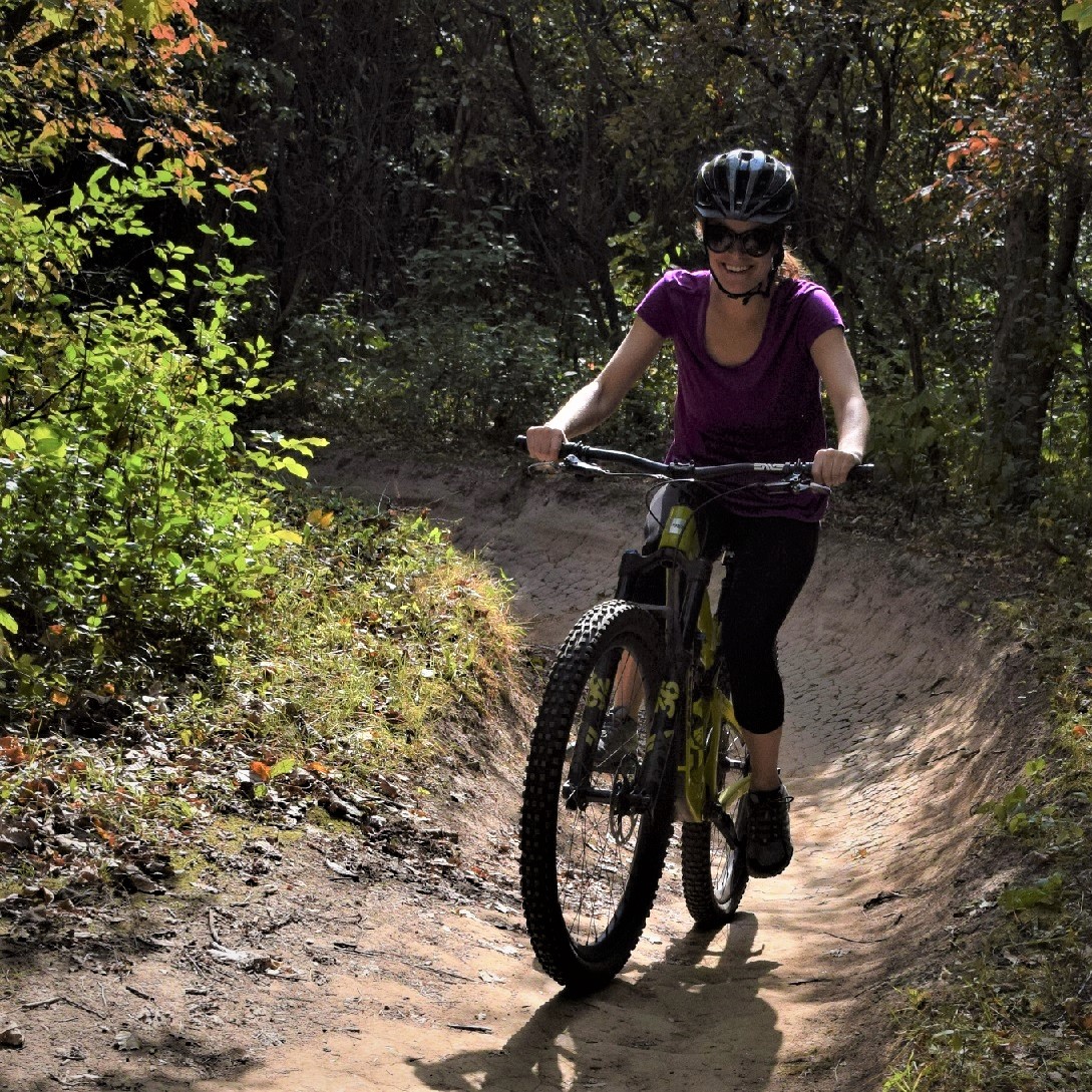
Fun riding Twin Cities Mountain Bike Trails
Bethel
Bethel Haunted Forest Trails: 6 miles
A series of interconnected loops in an 80-acre wooded area, one mile south of the town of Bethel. Rated easy to intermediate with advanced sections featuring hills, twists, and log crossings. Trails are shared with hikers and are open for fat biking and snowshoeing in the winter.
Map
Bloomington
Minnesota River Trail: 11 miles
Another Twin Cities mountain bike trail system is nicknamed Minnesota River Bottoms. You will find mostly singletrack winding through wooded areas along the river bank. The trails can be challenging and muddy after rain. Plenty of jumps (optional) and some obstacles. Trails are shared with hikers and are groomed for fat biking in the winter.
Map
Burnsville
Buck Hill: 6 miles
This is a beginner to an intermediate system that includes two downhill flow trails. The skills park here features a bermed course with drops, a rock garden, skinnies, and a dragon tail.
Map
Terrace Oaks: 2.3 miles
A fairly technical, intermediate singletrack trail system with many climbs and amazing descents.
Map
Cottage Grove
Cottage Grove Bike Park
West Draw Park is a work in progress with the Cottage Grove Bike Park. Setting on 26 acres, this family-friendly park currently includes a 4x track, two pump tracks, and a complete dirt jump plaza.
Info
Cambridge
Springvale County Park: 3 miles
A flowing singletrack trail system offers banked turns and a beautiful rolling jump while weaving up and around a lake, then traversing streams, swamps, forests, and a glacier moraine berm. Elevation gain is just under 160′ but these trails are fast and are great for beginner to intermediate riders. Constructed drops, teeter-totters, rolling jumps, boardwalk sections, and rock gardens keep the ride interesting. Trails can be accessed from both the North and South parking lots. There is a bike repair station along with a bathroom and drinking fountain in the South parking lot. Groomed for fat bikes in the winter.
Map
Chaska
Hawk’s Ridge Mountain Bike Trail: 4 miles
Hawk’s Ridge occupies a narrow sliver of land just east of Pioneer Ridge Middle School. It’s primarily an open, hilly, multi-use trail hand-built by volunteers of the Carver Trails group. Trails are beginner and intermediate levels with great views, challenging corners, and verticals carved into the hillside. There is a green (easy) trail around the perimeter of the park and a short black (most difficult) trail also. Note: Parking is available across the street at Pioneer Ridge Middle School during off-school hours only. Since there’s no parking on any residential streets around Hawk’s Ridge, riders must park at nearby city parks and ride in during school hours. Map
Eagan
This course is a favorite for many in the region, with some beginner trails but mostly intermediate. With a good mixture of rolling hills and technical singletrack. Woods provide a secluded feel in the south suburban area. Groomed for fat bikes in the winter.
Map
Elk River
Hillside Park: 6 miles
The park here is mostly posted with advanced to expert trails that are either climbing or descending for the entire course. A great park for skills practice. with quick/tight switchbacks, rock rolls, drops, berms, and good jumps. Groomed for fat bikes in the winter. Map
Inver Grove Heights
Salem Hills: 4.4 miles
Gently rolling hills through woods and reclaimed prairie consisting of three loops: Harmon Park, Sawmill, and Foul Pond Loop.
Map
Lake Elmo
Lake Elmo Park Reserve: 8 miles
A beautiful park for beginners to intermediate with a pleasant view of Eagle Point Lake. This is a multi-use trail with many fun features with some hard-packed singletrack and grassy trail. Be prepared to share the park with horseback riders. Fat bikes are allowed on Big Bluestem Trail in the winter. Map
Reid Park Trails: 1 mile
On 30 acres, this beginner-friendly trail is a work in progress.
Map
Sunfish Lake Park: 5 miles
This park offers three loops with distinct ratings of easy, intermediate, and advanced skill levels. Features include a bridge, logs, and switchbacks. Note that other trails exist in this park, and biking is only allowed on the singletrack trails. Groomed for fat bikes in the winter. Map
Lakeville
West Lake Marion Trail: 5 miles
On the west side of Lake Marion, near Casperson Park,
The hard-packed singletrack course flows through rolling wooded and open field terrain. Find a pump track at the trailhead. Groomed for fat bikes in the winter.
Map
Lino Lakes
Rice Creek Chain of Lakes Regional Park: 3.2 miles
Here you will find two separate, one-way singletrack trail loops. One on the east side of the park (Sherman Lake Loop) and one on the west side (Rice Lake Trail), about two miles apart. Both are continuous loops with a single entry and exit point connected to existing paved trail riders will use to access the loops. The two trails ride similarly with a flowy design, but a slightly different feel. Both are entry-level trails suitable for most riders. The trail loop on the west side features a few challenging climbs combined with fun, flowy segments for a total length of approximately 1.4 miles. The 1.8-mile east side loop features a few jump opportunities with some downhill segments that should add a little thrill for gravity trail fans. The plan is to eventually have additional miles of trails in separate nodes across the park. Map
Maple Grove
Elm Creek Park Reserve: 12.7 miles
Built to accommodate all skill levels of riders with Interconnected singletrack loop trails. the system is mostly intermediate, with short sections of easy and advanced trails.
Map
Minneapolis
Theodore Wirth Park: 12 miles
A great trail system consisting of several separate loops, just minutes from downtown. The singletrack trails are Intermediate to advanced, offering twists and turns with many technical features. Groomed for fat bikes in the winter. One more of the Twin Cities mountain bike trails to check out. Map
Minnetonka
Lone Lake Park: 5 miles
This trail system is designed to accommodate a variety of mountain biking skill levels. It offers ample challenges, from the steep topography to the fast, flowy single-track. The trail is also open to hiking and trail running in dry months, as well as snowshoeing and fat biking in the winter. Two trailheads provide users easy access from Rowland Road, in the park’s southwest section, or Shady Oak Road, in the east.
Map/Info
Monticello
Bertram Chain of Lakes Regional Park: 14.25 miles
This system offers many options for all skill levels, including fast singletrack, switchbacks, and a meandering double track. Be ready to deal with logs, roots, and wooden bridges.
Map
Montiview Challenge Course: 2.75 miles
As the name implies, this trail demands good bike-handling skills. A very tight and twisty singletrack route with many short, steep hills runs through the woods and some open spots with great views of the surrounding area. Jumps, bridges, teeters, rock gardens, boulder piles, and other features keep the ride interesting. The park also features a sculpture by a local artist and a bike repair station. A work in progress; look for more trails to be added in the future. Parking and a restroom are available near the trailhead at the top of Holy Spirit Trail, and the park can also be accessed from the off-road paved path off Jason Ave. Groomed for fat bikes in the winter.
Info
Oak Park Heights/Stillwater
Valley View Trails: 3.2 miles
Intermediate singletrack with some beginner and advanced sections. Features include a bridge, boardwalk, rock garden, and switchbacks. Trails are one way with an estimated 400′ elevation change.
Map
Rockford
Lake Rebecca Park Reserve: 13.25 miles
Easy to advanced singletrack loops through the wooded landscapes with wetlands. Start at the Hilltop picnic area.
Map
Saint Paul
Battle Creek Regional Park-West: 8 miles
Battle Creek features a wide selection of trails within its boundaries for Intermediate to advanced riders. including both 3.3-mile multi-use trails and 4.5 miles of singletrack. Thickly wooded, with some limited visibility on turns. One more of Twin Cities mountain bike trails to check out. Map
Fort Snelling State Park: 10 miles
Enjoyable riding for beginners along the Dakota County side of the river. Generally flat trails but scenic. Starts as a wide double track then narrows to singletrack. Trails are multi-use and perfect for fat biking in the winter.
Map
Savage
Murphy-Hanrehan Park Reserve: 10 miles
This trail system features glacial ridges, hilly terrain, and an extensive, lush forest. This is a challenging trail and a favorite for mountain bikers.
Map
Shakopee
Excel Energy Mountian Bike Park: 4 miles
The loop trails circling Quarry Lake are rated beginner to intermediate. The singletrack course weaves between the tree cover and a larger prairie area, taking advantage of natural and constructed topography. This trail was designed and built to be ridden in any kind of weather, so it doesn’t close when it’s wet. One special feature is the so-called chicken foot, a fallen oak tree that’s been cut flat for riders to balance on as they ride across it. The park also has a pump track. Map
Waconia
Monarch Singletrack: 10 miles
This trail system at Carver Park Reserve comprises five connected loops that accommodate all experience levels. Easy Rider features wider tread and few sharp turns and climbs, making it ideal for hand cyclists and beginners. The Raptor Ridge loop has flowy trails and a highlight of the entire singletrack: A vista overlooking Parley Lake followed by berms and a roller descent. Paradise Trail has the longest climb of the system and an expert feature area with a concrete rollout, jumps, a slalom section, and a shorter, technical climb. It offers bypasses for the difficult features to accommodate intermediate-level riders. Groomed for fat bikes in the winter.
Info/Map
Woodbury
Carver Lake Park: 4 miles
Carver Lake Park is a nice twisty stacked loop of intermediate singletrack. It’s never too technical, but there are several places where a short advanced side trail leaves the main trail, then rejoins it again shortly.
One more of the Twin Cities mountain bike trails to check out. Offering great flow, it’s easy to get a couple of full laps in less than 1.5 hours with the three sections or loops. Or, add an extra lap on your favorite loop. The trail dries out faster than others in the Twin Cities as well, which makes for a shorter downtime after it rains. There is water (during the warm months) and an outhouse and repair station available at the trailhead. You will also find a well-developed skills park here. The trail is also groomed for fat bike riding in the winter. Map