Tag: Paul Bunyan Trail
-
Minnesota’s paved and surface trails to explore this summer
With more than 4,000 miles of paved bike/hike trails in Minnesota, it has become a world-renowned bicycle touring destination for all to enjoy. Making considerable strides in connectivity throughout the state. In some areas, you can pedal more than 150 miles without leaving the pavement. As you plan your next adventure, look through the following…
-
Discover the pleasure of biking around Brainerd
The farther you drive north, the more you’ll be surrounded by lakes and never-ending trails. And the Brainerd Lakes Area is no exception. Here, you are in luck when you want to escape the city to taste the come-stay-for-a-while vibe of relaxing by the lakeside in northern Minnesota.
-
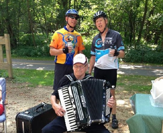
Bike tour enjoys an endless adventure in the Brainerd Lakes Area
This year’s Bike Around Minnesota Endless Adventures, highlights riders pedaling 230 unforgettable miles over four spectacular days. While touring the heart of the Brainerd Lakes Area. Enjoying overnight stops in Pequot Lakes, Pine River, Emily, and historic Aitkin on the Mississippi River. Where cyclists experienced the very best of Minnesota’s lakes, forests, and small-town charm—including…
-
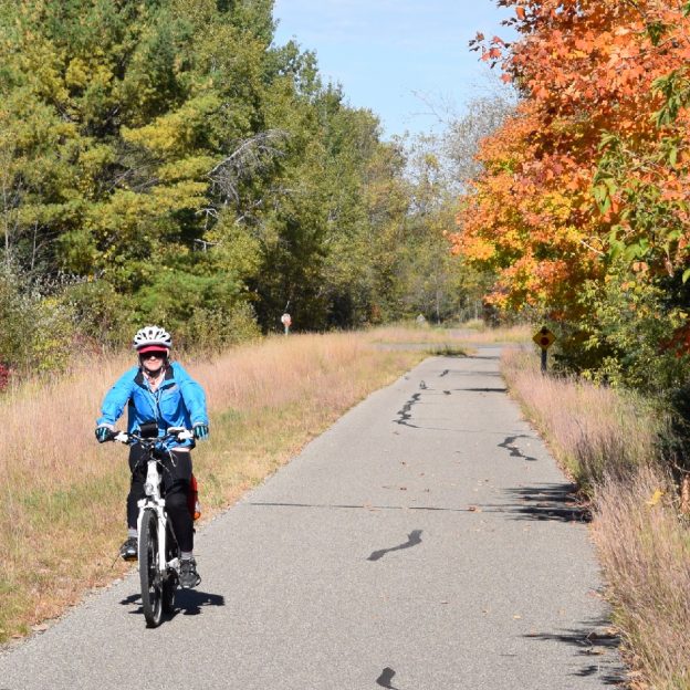
Minnesota’s Peak Riding Time Is Fall: Part 1
With the summer season officially off the calendar, fall is a great time to extend your bike riding adventures here in Minnesota. As the trees change colors along the miles of paved and mountain bike trails, cyclists will find a kaleidoscope of colors along the way. With the abundant rainfall this year, colors are predicted…
-
-
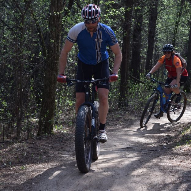
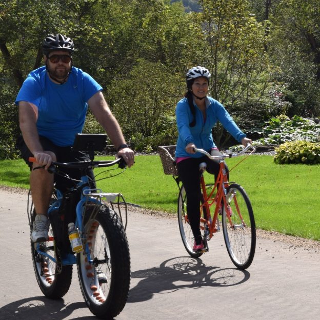
Bike Pic Aug 26, fat bike fun mountain biking
This Bike Pic Thursday, fat bike fun near Brainerd, MN.
-
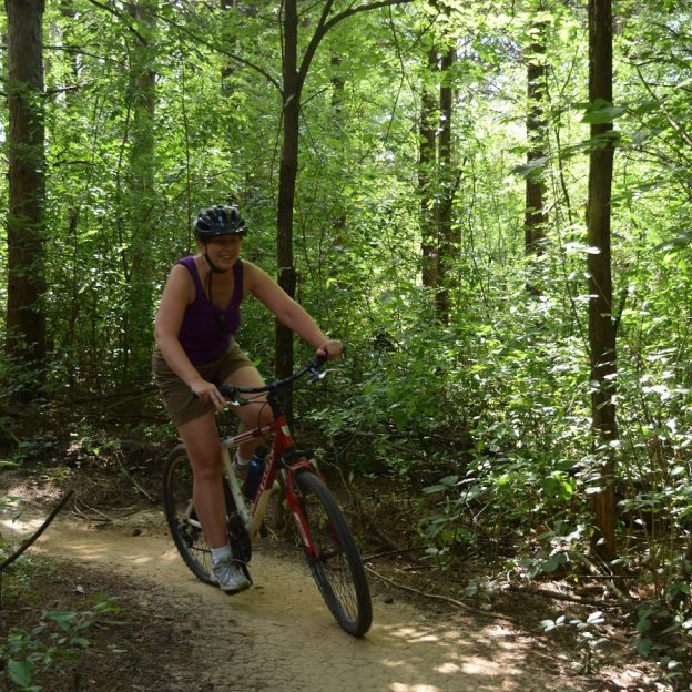
Bike Pic June 11, a cool spots for mountain biking fun
This Saturday, just south of Leech Lake, a fun place to shred the trails