Tag: Mesabi trail
-
Minnesota’s paved and surface trails to explore this summer
With more than 4,000 miles of paved bike/hike trails in Minnesota, it has become a world-renowned bicycle touring destination for all to enjoy. Making considerable strides in connectivity throughout the state. In some areas, you can pedal more than 150 miles without leaving the pavement. As you plan your next adventure, look through the following…
-

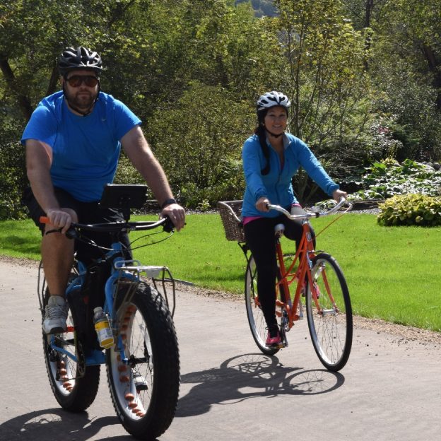
Bike Pic Feb 21, fond summer as winter continues
This fond memory Saturday, having fun on the Mesabi Trail!
-
Minnesota’s Peak Riding Time Is Fall: Part 1
With the summer season officially off the calendar, fall is a great time to extend your bike riding adventures here in Minnesota. As the trees change colors along the miles of paved and mountain bike trails, cyclists will find a kaleidoscope of colors along the way. With the abundant rainfall this year, colors are predicted…
-
Many Bike/Hike/Paddle adventures await you in the Mesabi Trail Towns
In Minnesota’s north mining region, the towns along the Mesabi Trail host several of the state’s historical gems. They are a fun family destination to explore by bike, foot, or with a paddle. In this pristine area of the state, you will find over 28 small mining communities along this well-known paved trail system. With…
-
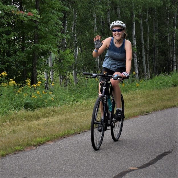
Bike Pic Feb 06, fond summer memories as winter stays warm
This mild weather Tuesday, fond summer memories on the Mesabi Trail
-
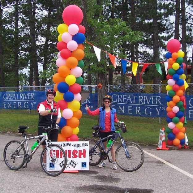
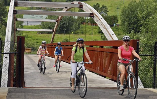
Still time, ride across MN’s tallest bridge on the Mesabi Trail this weekend
Is your calendar open for a bike adventure this weekend? There is still time to experience riding your bike across the tallest bridge in Minnesota. This Saturday, August 4th, consider the Great River Energy Mesabi Trail Tour. They offer four memorable route options to choose from, all crossing this new bridge with breath taking scenery.
-
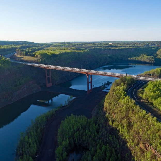
Ride across the highest bridge in Minnesota this summer on the Mesabi Trail
Did you know you can ride your bike across the tallest bridge in Minnesota on the Mesabi Trail? Did you also know that on August 4th, all four routes for the Great River Energy Mesabi Trail Tour will be going across that bridge? As an avid or casual cyclist or you’ve got the kids in…
-

Minnesota Bike/Hike Guide dedicated to all fathers, next Sunday
Now available quarterly, the 2016 summer edition of the Minnesota Bike/Hike guide is now digitally available and dedicated to all those fathers, next Sunday!
-
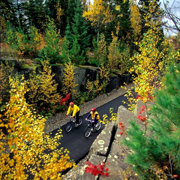
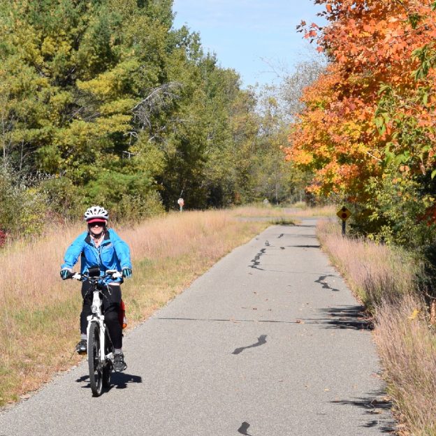
Bike Pic Jan. 7, Fall colors on the Mesabi Trail
Here in this bike pic photo, cyclists enjoy the vibrant Fall colors while riding the Mesabi Trail, in Northeastern Minnesota. See more information on where bike, eat and stay in the Mesabi Iron Range At-a-Glance Article.
-
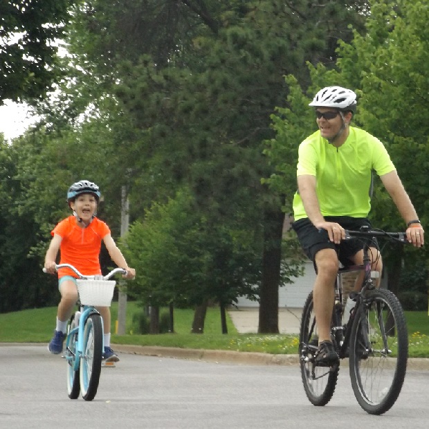
Bike Pic Dec. 21, fun in Grand Rapids, MN
Here, with dad at her side, these two cyclists enjoy riding their bikes on the bike friendly streets of Grand Rapids, MN, on their way to the Mesabi Trail-head, on the north side of town.