Tag: Cannon Valley Trail
-
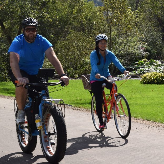
Minnesota’s paved and surface trails to explore this summer
With more than 4,000 miles of paved bike/hike trails in Minnesota, it has become a world-renowned bicycle touring destination for all to enjoy. Making considerable strides in connectivity throughout the state. In some areas, you can pedal more than 150 miles without leaving the pavement. As you plan your next adventure, look through the following…
-
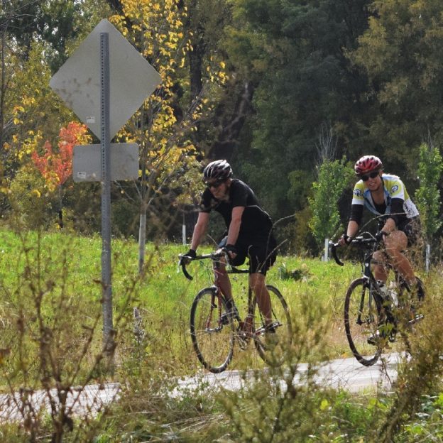
Fall colors are still prime in southern Minnesota this weekend
As the leaves continue to lose their color or drop them throughout the northern half of the state, many southern sections of Minnesota are just peaking or still in their prime. To find a perfect fall colored adventure this weekend check the Minnesota Fall Color Website.
-
Congratulations Cannon Valley Trail on your national distinction
Recently the U.S. Secretary of the Interior Ryan Zinke announced that 19 new National Recreation Trail (NRT) systems were added, and this includes the Cannon Valley Trail in Minnesota. This now adds an additional 370 plus miles to over a 1,000 NRT trail system throughout the U.S.