by Russ Lowthian, HaveFunBiking.com
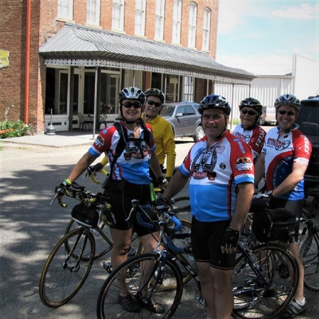
With miles of connecting bike trails around the city of Blaine, sports fans and visitors alike will find many phenomenal sights while bicycling here. One of the nine communities of the Twin Cities Gateway this city is a perfect destination for a bike vacation tied to a sporting event. The city offers many trail opportunities surrounding the sports facilities here. So, whether you are an athlete looking for a fun way to get a pre-game workout. Or, a visiting sports fan looking for some added memories we have some ideas starting with the Blaine 10-mile bike loop.
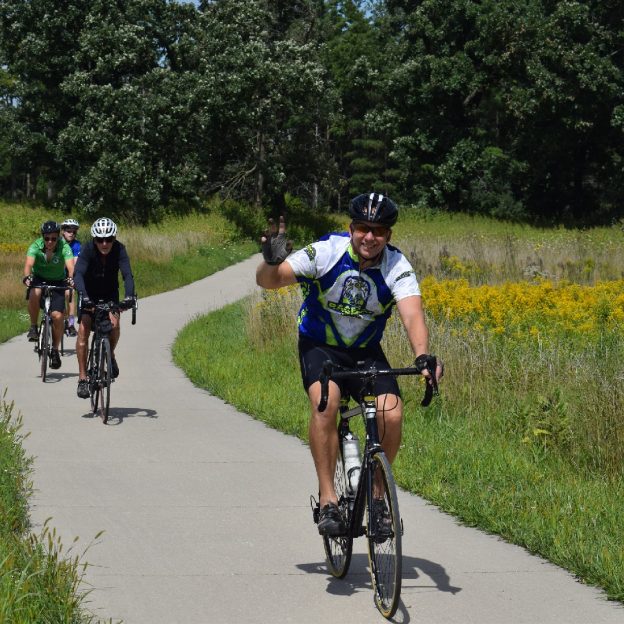
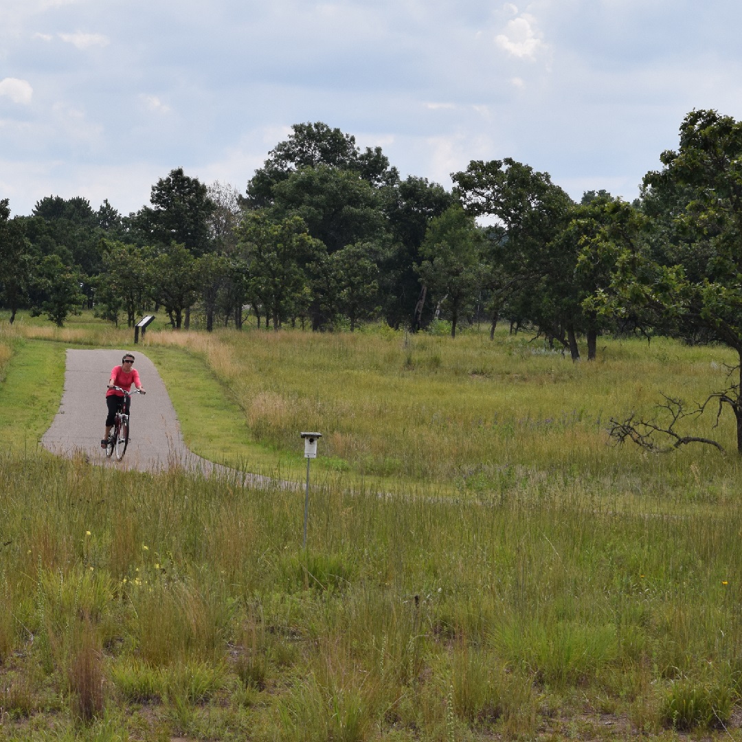
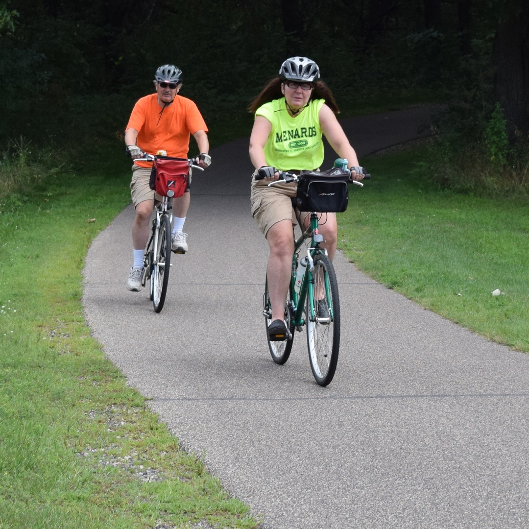
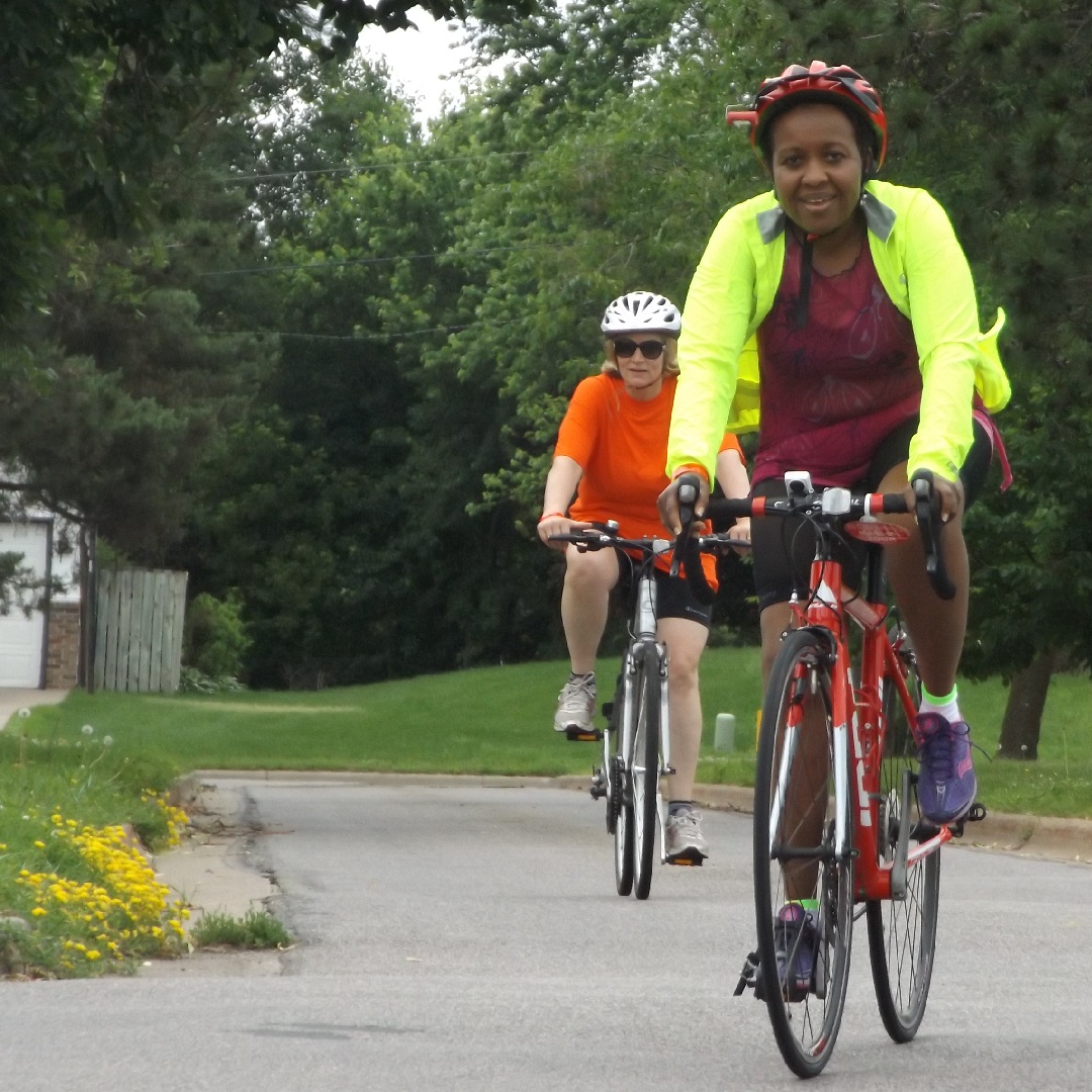
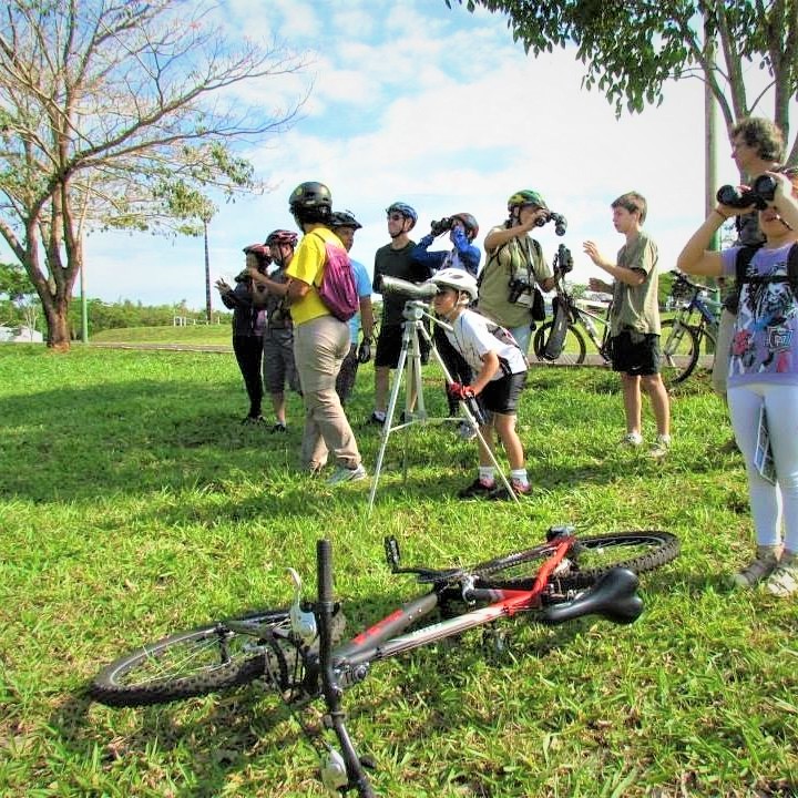
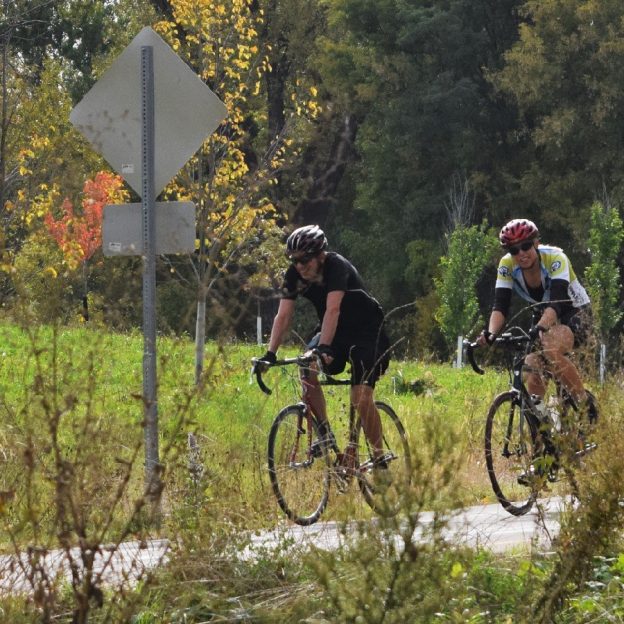
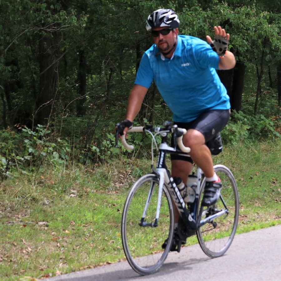
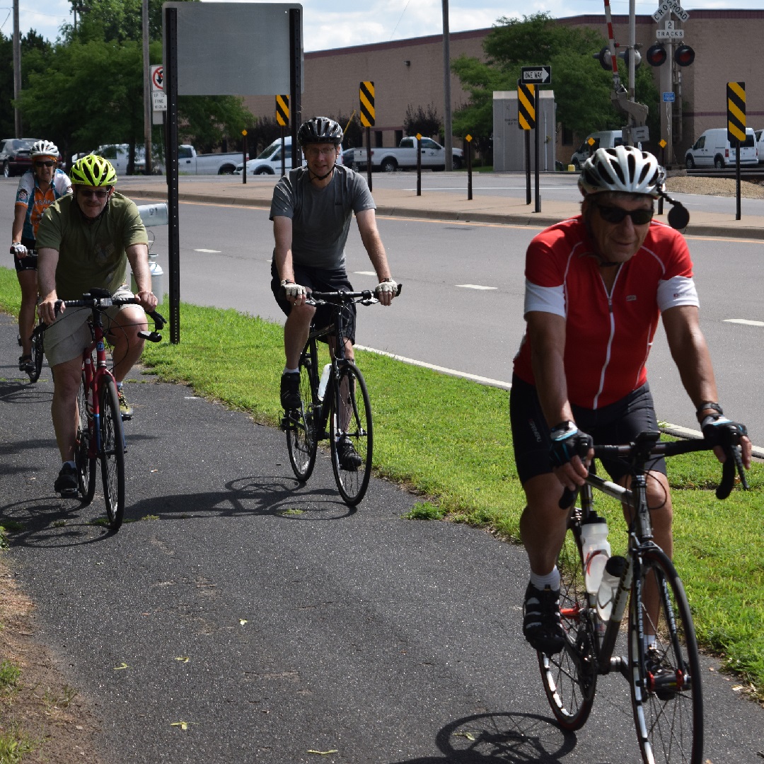
The Blaine 10-mile bike loop can add more fun to your game visit.
The Blaine 10-mile bike loop
A perfect bicycle tour before or after a game this bike loop begins in the parking lot of the National Sports Center(NSC). The route heads south using the service road between NSC and Schwan Super Rink and passes through several parking lots south to 101st Avenue. Traveling in a clockwise direction drive your bike south on Davenport to the stoplight at 99th Avenue and cross Highway 65. If you are staying at the Asteria Inn & Suites, on 93rd Ave, this is a great place to meet up with the 10-mile loop. it is a short 1/4-mile ride, north on Baltimore Street, from the hotel to 99th Avenue.
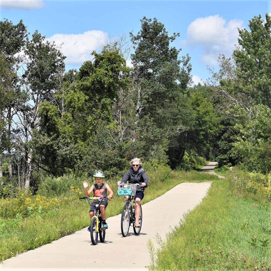
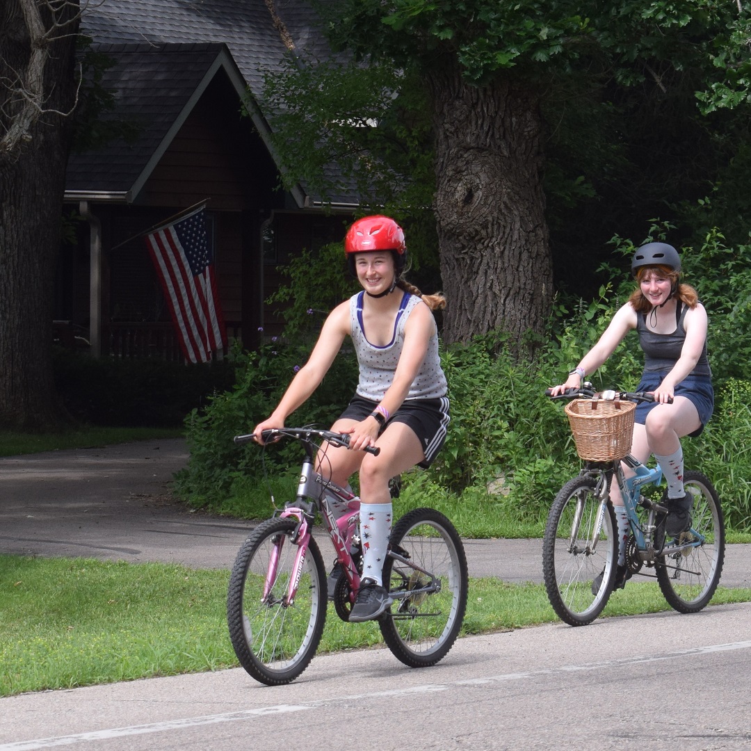
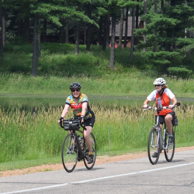
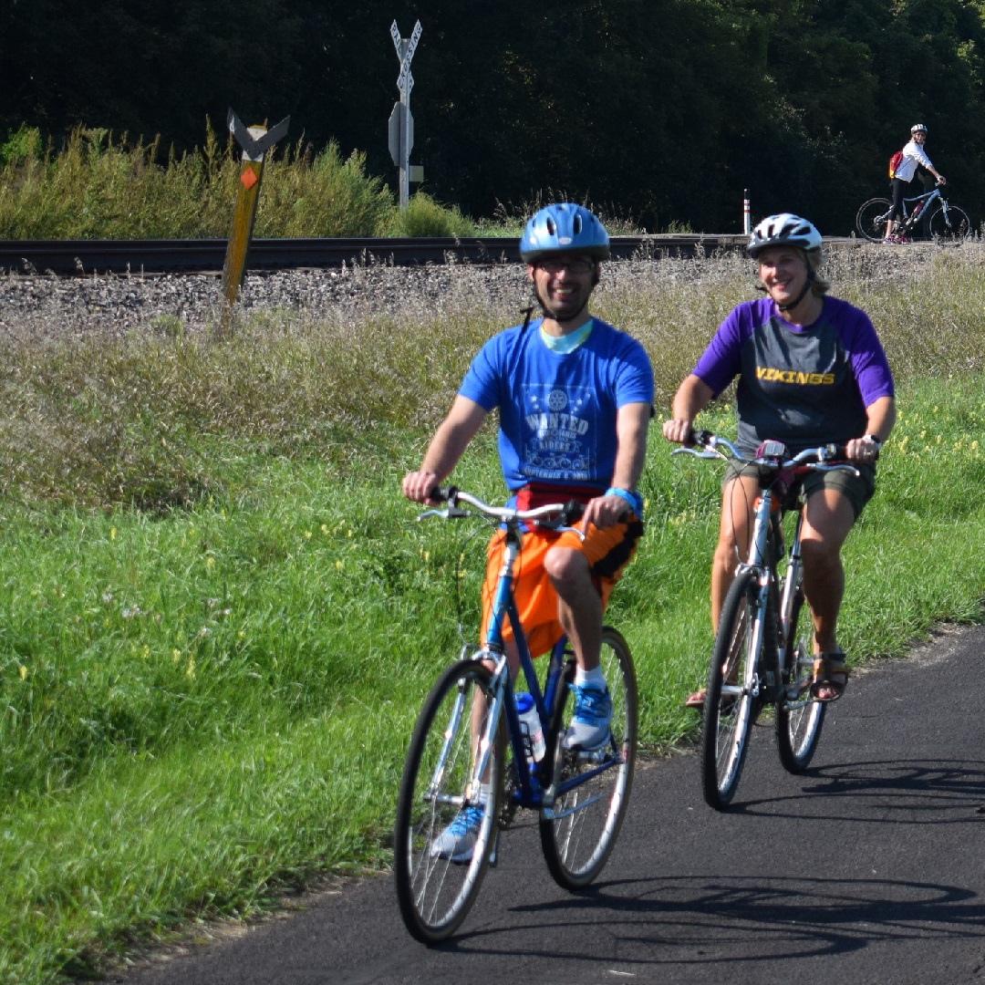
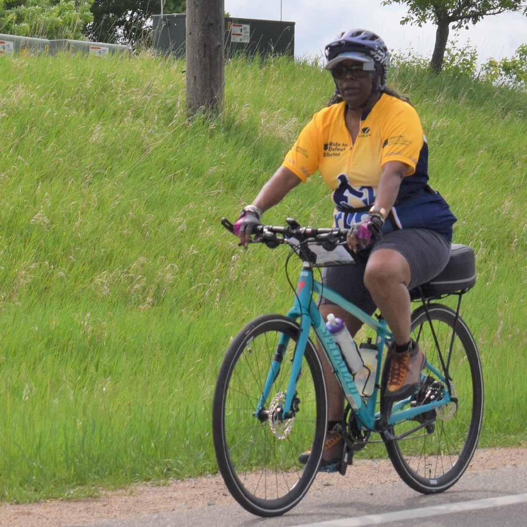
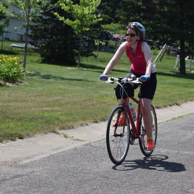
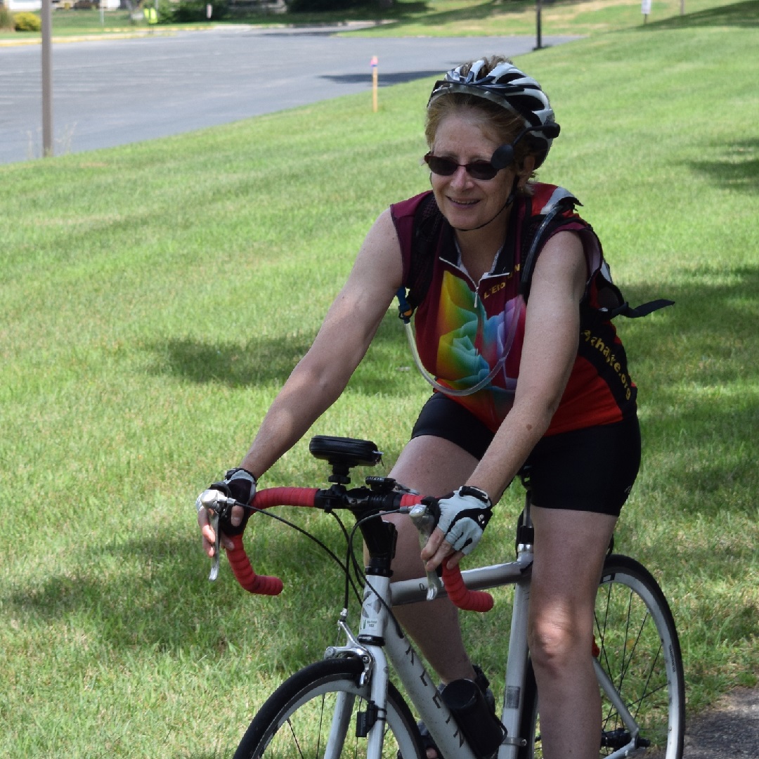
The Blaine 10-mile bike loo is fun for all ages.
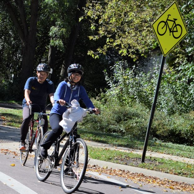
Crossing the highway and enjoying the trails in Blaine
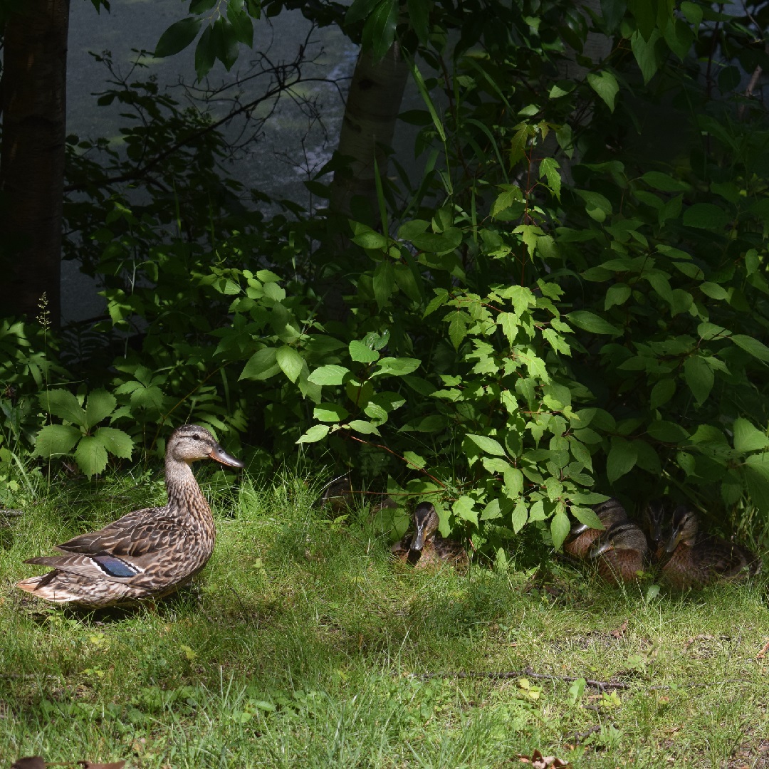
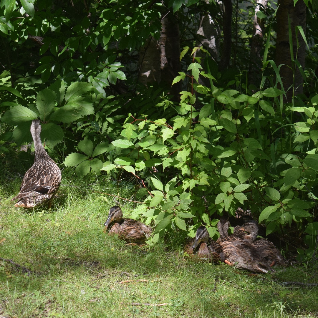
If you prefer staying off the streets after crossing the highway the trail that runs parallel on 99th Avenue, on the south side, for your added comfort. On Clover Leaf Parkway, take a right and you are soon on a sequence of city trails up through several neighborhoods. For the next couple miles the route meanderers to the north. As you pedal along the trail you will pass several small neighborhood ponds where it is common to view wildlife.
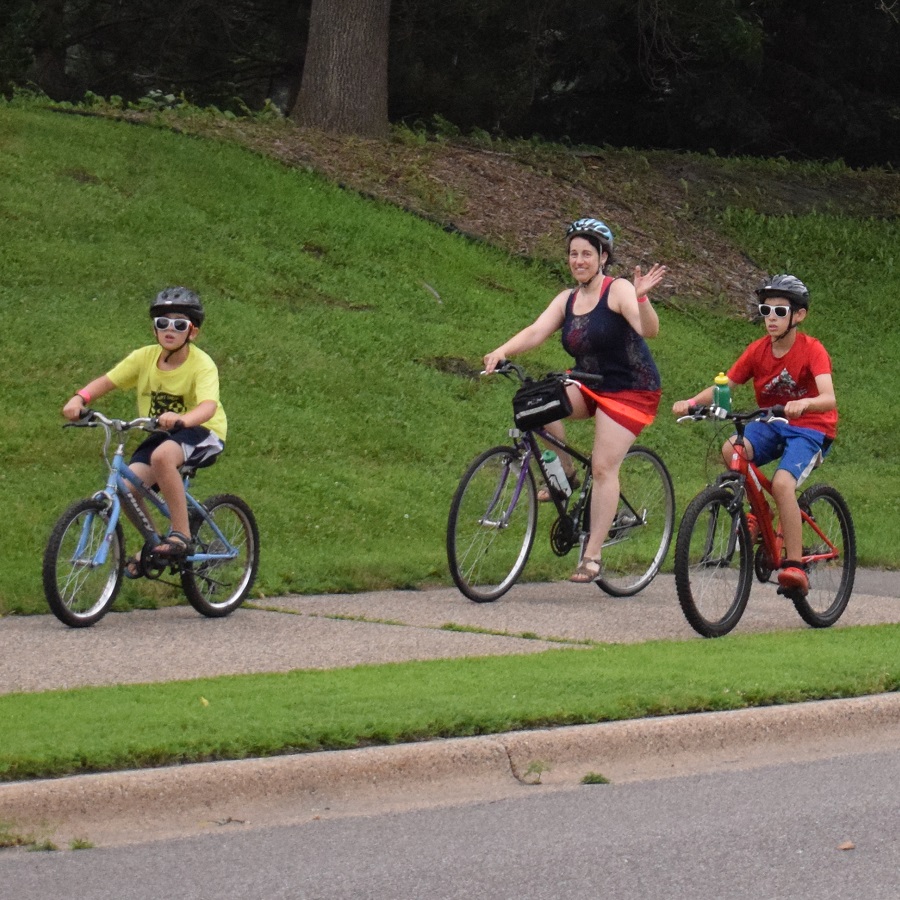
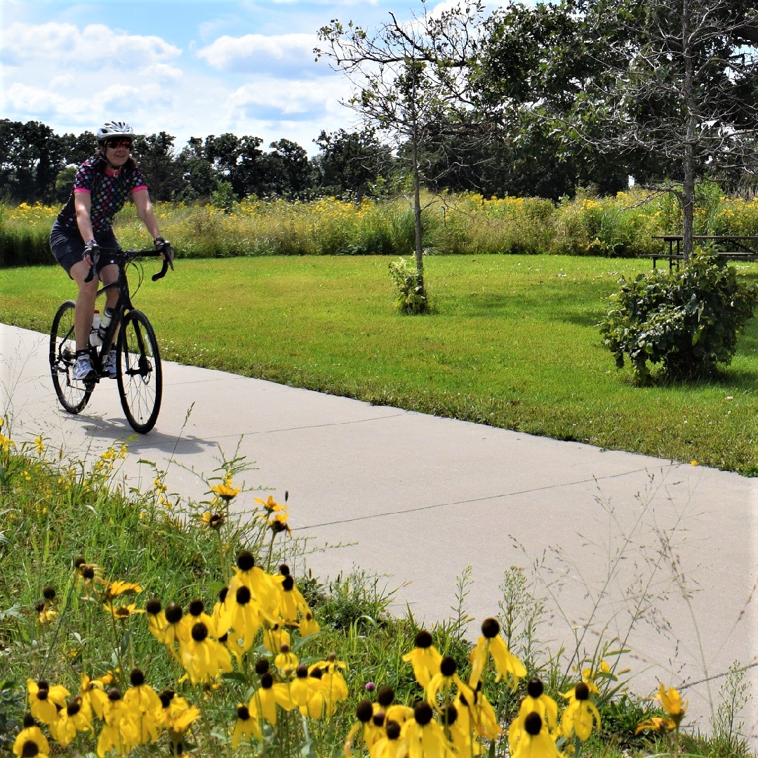
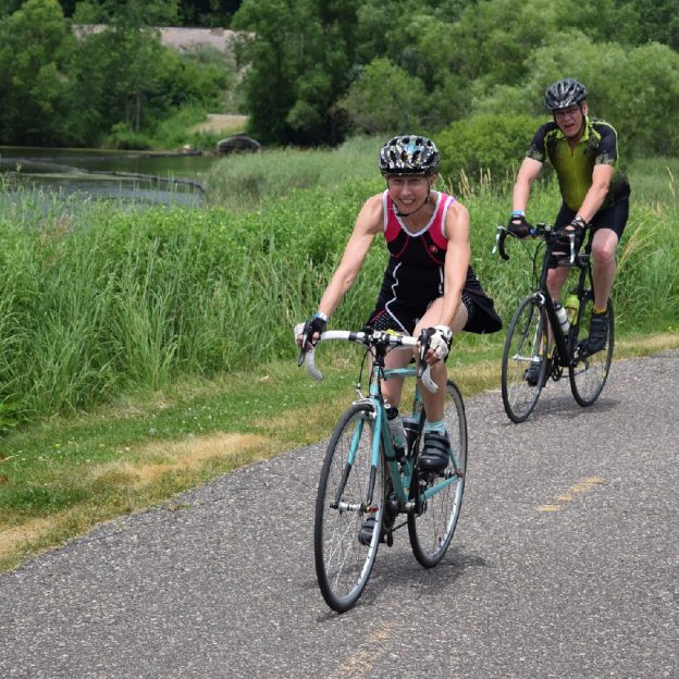
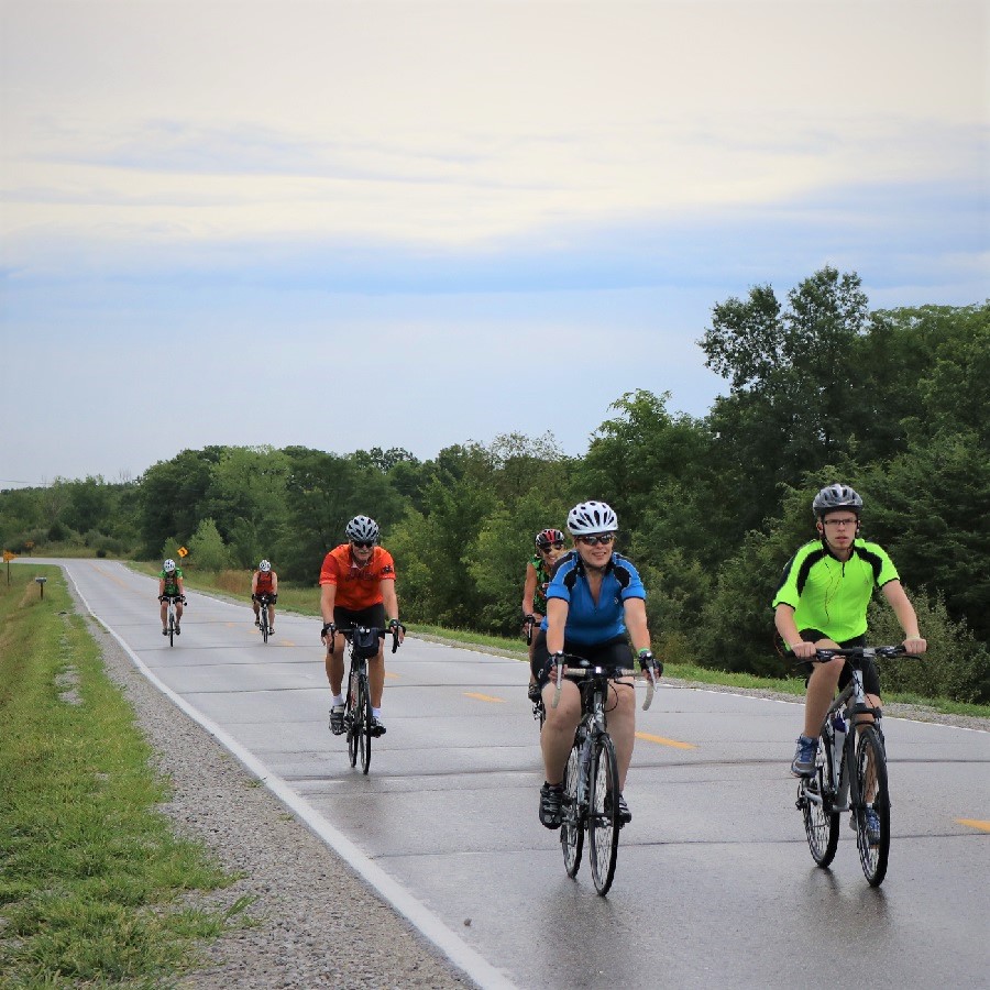
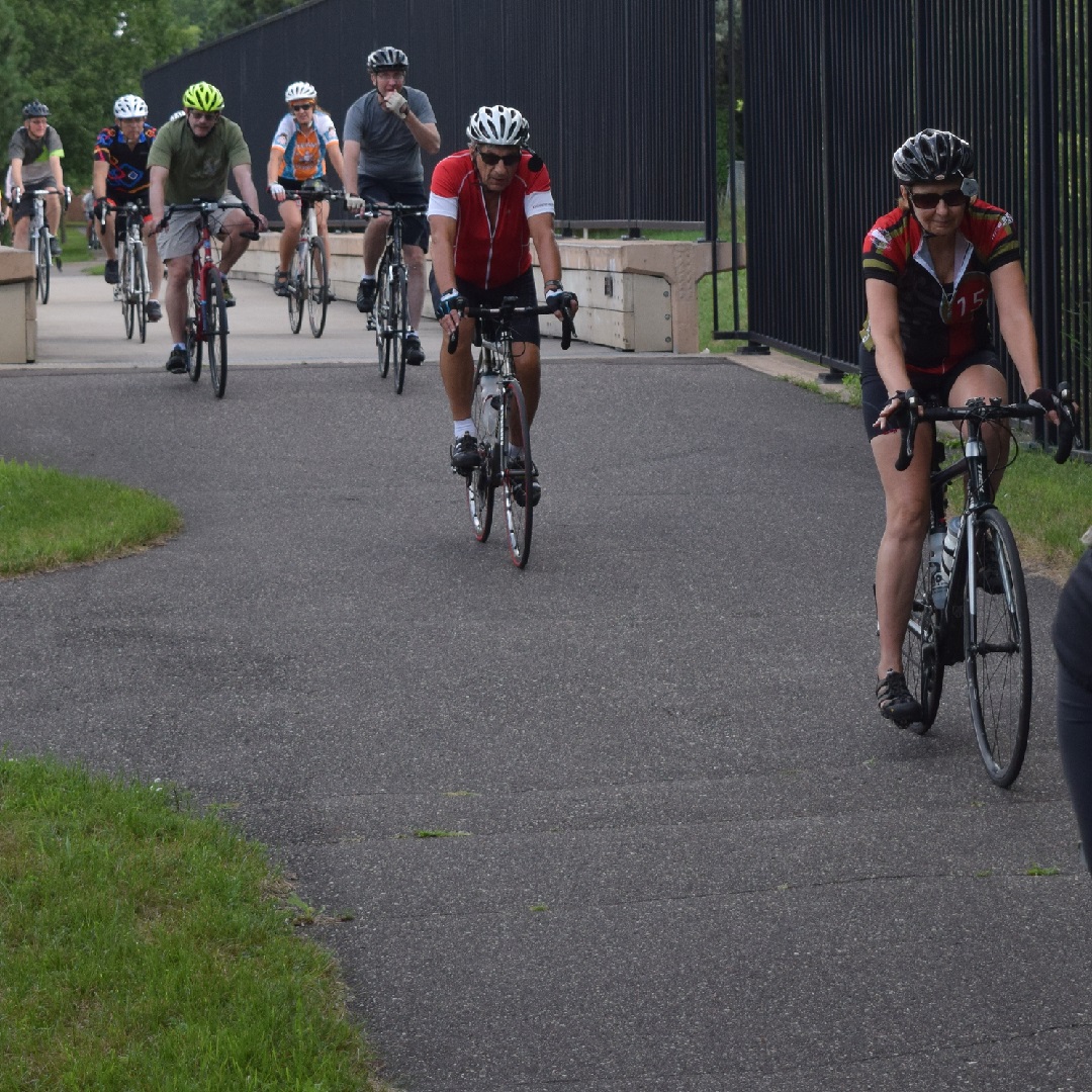
Many roads here offer trails that parallel for added comfort.
At 113th Ave. the route relies on a combination of roads (with parallel trails). These quiet, low traffic city streets connect you to more neighborhood trails on the route up to Paul Parkway. The last stretch on this section takes riders through the Blaine Baseball Complex with several trail options circling the ball fields. One option, if you don’t mind adding more mileage to your ride is taking a left at the trail T to Bunker Hills Regional Park. On the 10-mile loop turn to the east on Paul Parkway where you will find a trail running parallel with the street.
A sweet tooth option at the 6-mile mark
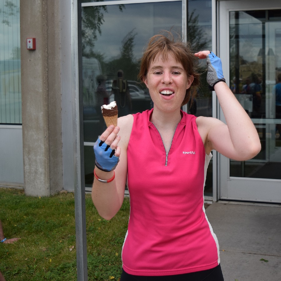
It’s always fun when riding in the Twin Cities Gateway to stop for ice cream.
If you don’t mind adding a couple of extra miles, take a left on Ulysses Street for ice cream. It is approximately a mile, each way, that you will have to add to your total mileage, But the Big Dipper Creamery is worth the extra miles with 52 flavors to choose. For any bike service needs, while touring here, Pioneer Cycle is across Highway 65, north of Main Street.
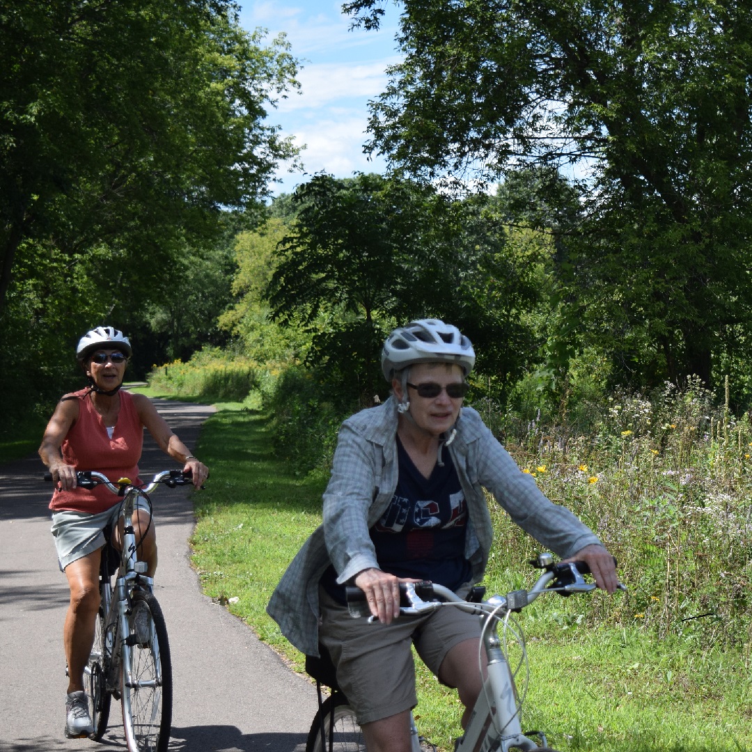
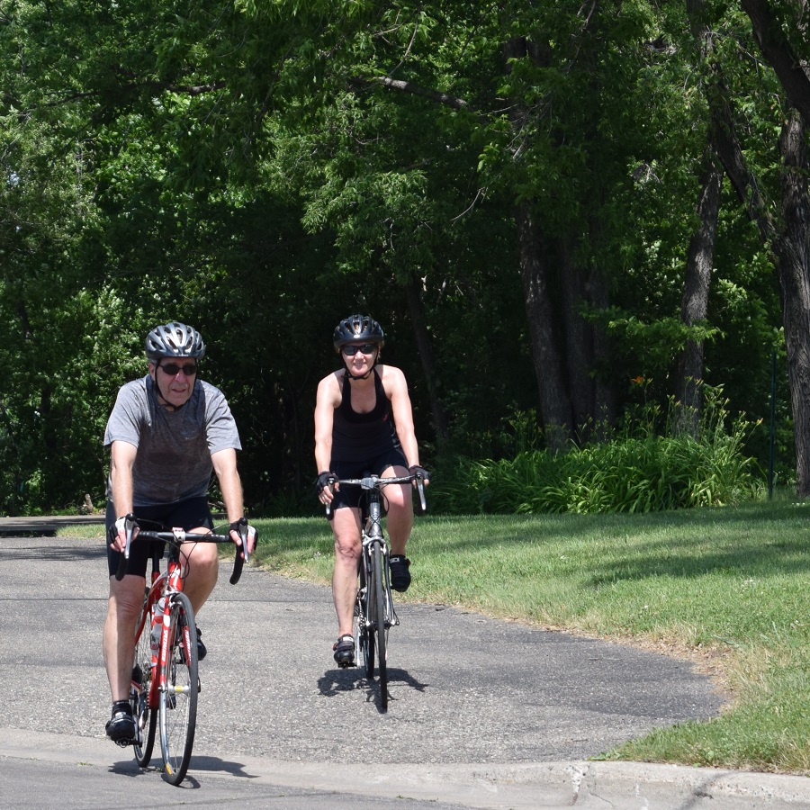
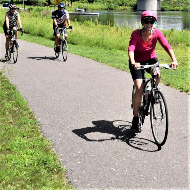
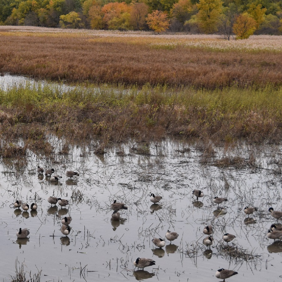
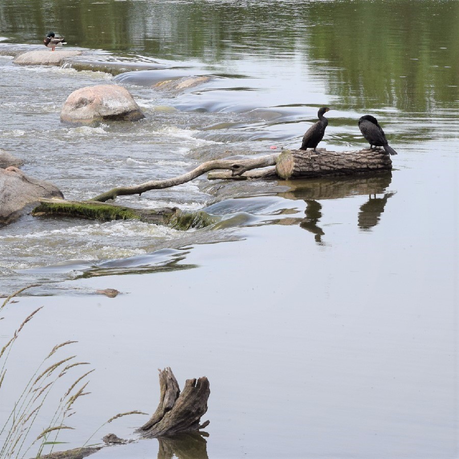
Enjoying nature along the trail.
Continuing east on Paul Parkway the route crosses over Highway 65 and turns south on Aberdeen St, again with a trail running parallel on the west side. If you have worked up an appetite for breakfast, lunch or some pie, Carol’s Restaurant is an option. Her homemade cooking is always a treat when I stop there!. Further south, the 10-mile loop jogs to the east and meanders past some more picturesque trail setting that takes you over a wooden bridge.
Returning back to the NSC or your hotel
After the round-a-bout at 113th, the route continues south on Club W. Parkway. For those staying at the Best Western Plus or Fairfield Inn & Suites in Blaine, take a right on 108th Ave. The Hotel is south of Target, on the east side to Baltimore Street. If you missed the Big Dipper Creamery option, above you will find ice cream next door to the hotel. For bike touring visitors staying at Asteria Inn & Suites, on 93rd Avenue, continue south using the cue sheet link below.
The 10-mile Blaine loop continues south on Davenport, below 105th Avenue and into the National Sports Center parking lot. Back at the NSC or your hotel checkout a nearby eating establishment and plan another bike adventure in the Twin Cities Gateway Area.
Printable map and Q (cue)-sheet)
For a printable bike map of Blaine click here
For a turn-by-turn, Q-sheet of Blaine click here