
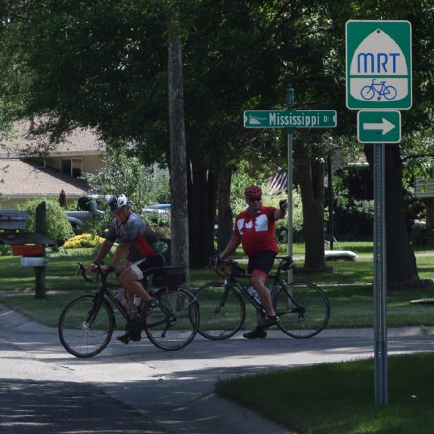
County level bicycle maps are now available in Minnesota. As the second most bicycle friendly state in the United States, according to the League of America Bicyclists, the Minnesota Department of Transportation (MnDOT) has recently announced the first of a series of bicycle maps. These are county by county level bicycle maps for the state. In the link below, you’ll find 125 maps with some counties split into more than one sheet. All at this one link location, click on any County Bicycle Map and see trails, road conditions, and more.
Selecting One of the County Level Bicycle Maps
Once you have selected a map, you can print out any of the maps by county (on 8.5×11 or 11×17 paper) to take along to help navigate your bike adventure. Please note, there are no printed versions of these county bike maps available, so you will need to print you own.
Additional Minnesota Maps to Cross Reference
For major metro areas in Minnesota you should also consider referencing local bicycle maps. Local bike maps may have more current local roadway data and trails. Click the following links for these Minnesota cities with bike maps: Albert Lea, Anoka County (TwinCities Gateway) Brainerd, Bemidji, Cuyuna Area, Duluth, Grand Rapids, Hastings, Hibbing/Virginia, Hutchinson, Lakeville, Little Falls, Mankato, Minneapolis Northwest, Minneapolis (Hennepin Co.) Park Rapids, Prairie Waters Area (Western MN), Rochester, Root River Trail Towns, Stillwater, St. Cloud, St. Paul, Walker, Willmar and Winona.
According to MnDOT, “because this is the first effort to show data at the county scale there are some gaps and we will continue to work with the counties to improve the data and layout of these maps with future versions.” They also welcome your comments on how to improve the maps. Submit feedback or changes by emailing [email protected].