Category: Destinations
-
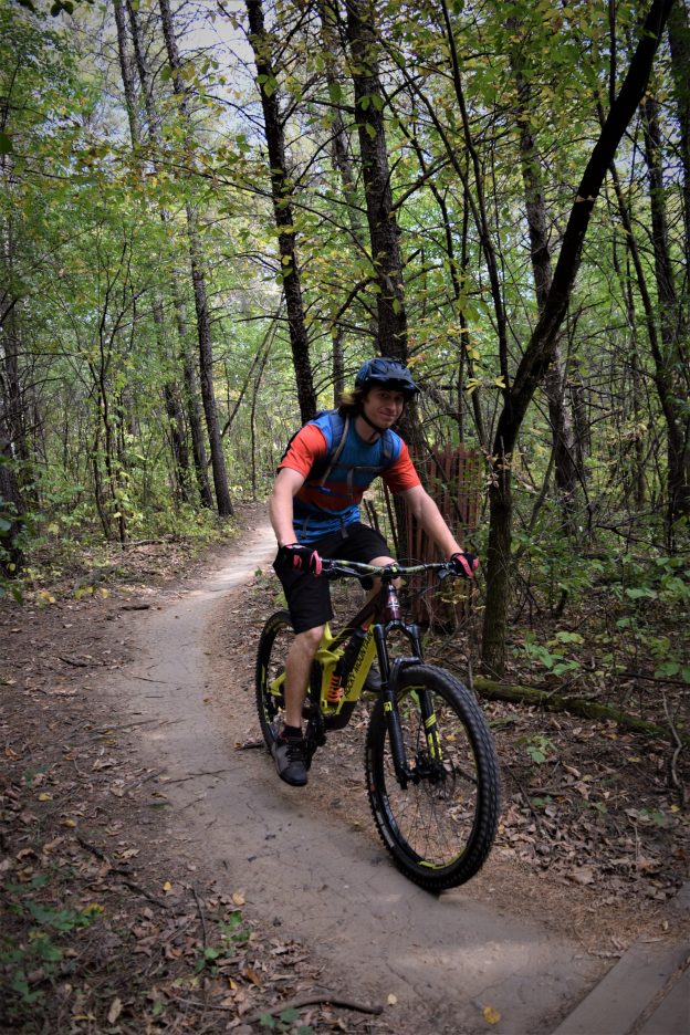
Minnesota’s newest hiking and mountain biking park opens
Are you looking for trails with plenty of flow, berms, and jumps? You’ll find them at the new mountain biking trails in Braemar Park. The trails that skirt the golf course are laid out in three segments located in the southwest, northwest, and east sections of the golf course in Edina, MN.
-
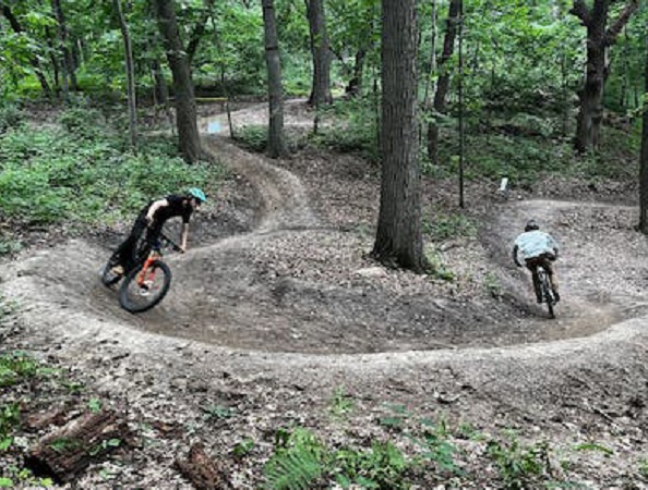
IMBA mountain bike trail workshop moves to Minnesota
The International Mountain Bicycling Association (IMBA) will hold its seventh year of Foundations Mountain Bike Trail workshop to create more model trail communities. This year in Minnesota, attendees will learn what it takes to make a mountain bike park and then return home with the knowledge to make it happen. In 2025, workshops will occur…
-
Minnesota River bottoms, a fun year-round trail network
Famous for mountain biking, hiking, fishing, and bird watching, the Minnesota River Bottoms in Bloomington MN are some of the last natural trails in the Twin City metro. At the Bloomington Ferry Bridge site, you will find one of three starting points for many outdoor adventures along the river.
-
Winona’s scenic bluffs offer a new twist for mountain bikers
Winona’s scenic bluffs are a great place to shred some winter, spring, summer, or fall trails. Enjoy the new mountain bike trail system in Bluffside Park, overlooking Winona, MN. The park offers over five miles of switchback trail fun above this historic river town. The mountain bike park will give you and your companions spectacular views of the…
-
Helpful tips to consider before purchasing an E-bike
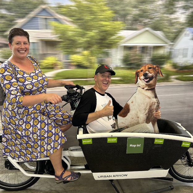
E-bikes (electric assist bikes) are a fun and eco-friendly way to travel, offering a new way to get around and encouraging various non-commuting activities, like grocery shopping. They are game-changers that provide flexibility for navigating heavily populated areas or touring scenic countryside routes. With the growing popularity of the e-bike, here are some key questions…
-
Fun ideas to stay fit once snow arrives
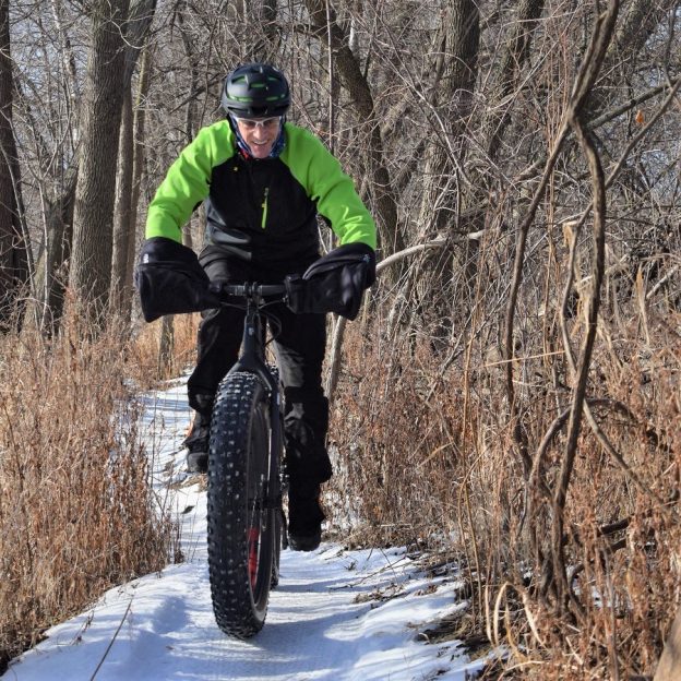
Living in the upper Midwest with four unique seasons, fat biking can be a fun way to pass the time in the winter while getting a good cardio workout. Many studies state the benefits of staying active in cold weather, and riding a fat bike will do that. As an avid cross-country skier, with climate…
-
Biking and birding fun in the Minnesota River bottoms
Towards the southern edge of Bloomington, you will find the Minnesota River Bottoms Trail System. It is the perfect place for a great wildlife adventure. It is also a fun place to bike, hike, and watch the annual fall migration, where you can observe over 250 species of birds. I regularly use the trailhead near…
-
Fall bike/birding options in the Willmar Lakes Area
With small town charm, sprawling countryside trails the Willmar Lakes Area is the perfect place to visit with your bike for a fun weekend getaway this fall.
-
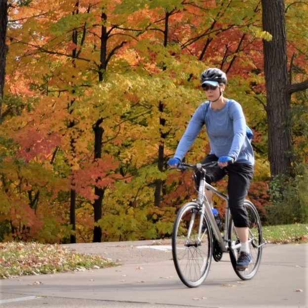
Bike destinations and peak fall color riding in the Upper Midwest
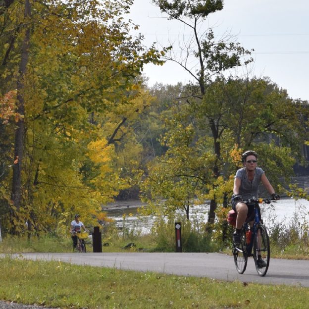
With fall color officially peaking in just a month, don’t rush to put that bike away too soon! When the tree foliage begins to change, first in Minnesota and then in Iowa, using the HaveFunBiking guides and the state DNR websites, it’s easy to expand your recreational riding through October. As our summer bike adventures…
-
A bike adds to the fun at the Gus Macker Basketball Tournament
The Gus Macker Basketball Tournament returns to the Twin Cities on August 17-18. Historically held in downtown St. Paul, this 3-on-3 family-focused tournament is now in Brooklyn Park, MN, the perfect place to bring your bike. While visiting, you will find five major paved trail systems that intersect. Plus, there are many bike-friendly streets to…