Tag: trail running
-
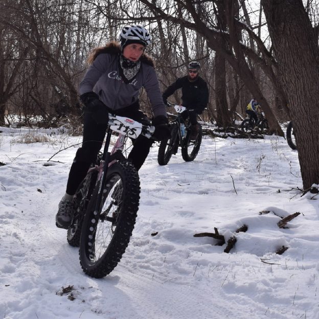
Minnesota River bottoms, a fun year-round trail network
Famous for mountain biking, hiking, fishing, and bird watching, the Minnesota River Bottoms in Bloomington, MN, offers some of the last natural trails in the Twin Cities metro. And it is an oasis for winter fat biking. At the Bloomington Ferry Bridge site, you will find one of three starting points for many outdoor adventures along…
-
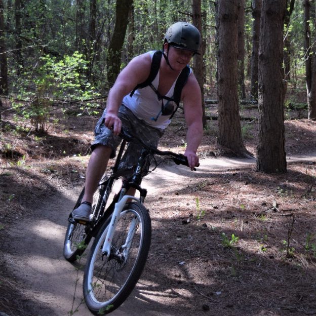
Bike Pic Sept 5, having fun post holiday with another adventure
Back in the mountain bike saddle after a long holiday weekend, excited for the next challenge, here is our bike pic to start your week.
-
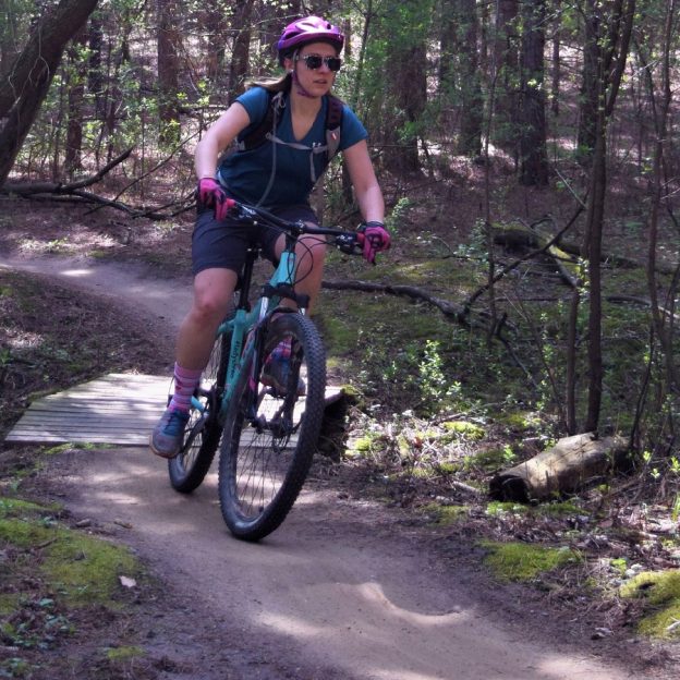
Bike Pic Aug 29, many trails are drying, check before mountain biking
Tuesday morning and this mountain biking chick finds a dry trail to enjoy. In Minnesota, check MORC trail conditions to see which trail systems may be open after all the rain, the last couple days.
-
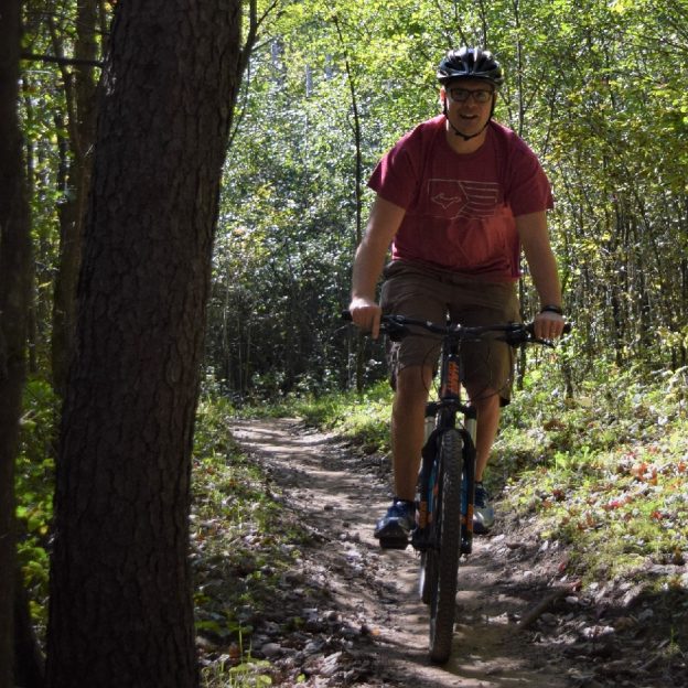
Bike Pic Aug 19, many mountain bike trails are closed, check first!
Saturday morning and this mountain biker finds a dry trail along the Minnesota River bottoms in Bloomington MN. to enjoy. In Minnesota, check MORC trail conditions to see which trail systems may be open after all the rain, the last couple days.