Tag Archives: MPLS Park & Recreation map app

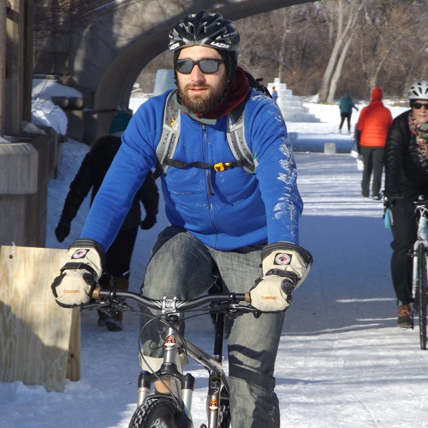
The Minneapolis app tells you trails plowed after it snows

Minnesota’s cyclists are a hardy bunch, but ice and snow-blocked trails can put the brakes on many rides. Just in time for winter weather, the Minneapolis Park & Recreation Board (MPRB) new Trail Plowing Status Map App. is ready and waiting when it snows.  Transponders mounted on the city’s snow removal equipment show in real-time which trails have been cleared. With the new tool, users can track over 70 pieces of city equipment as they plow over 150 miles of trails across the city of Minneapolis.

Click on the map to go to an interactive map

According to the 2015 American Community Survey by the U.S. Census, Minneapolis is one of the top cycling cities in America. With an extensive trail network, nearly 12,000 people commute by bike annually here.

That number takes a big dip during winter, especially when snow is in the forecast. The Trail Plowing Status app hopes to remove the mystery of whether your route to work is safe for riding, walking, or rolling. The MPRB hopes this will encourage more active transportation enthusiasts to use the trail network all year.

The app also allows the Park Board to collect data to analyze and improve its operations. If you run into some unplowed trails, there’s an option on the website to report any problem areas.

A final note – excuses not to ride

When talking about bicycle infrastructure in Canada, the number one excuse heard is “winter.” Many North American cyclists consider the cold and snow a fundamental barrier to year-round biking. But one city, Oulu in Finland, with winter weather worse than most upper North American cities, shows that winter cycling has nothing to do with the weather and everything to do with safe cycling infrastructure.

Here is a comparison video of why Canadians Can’t Bike in the Winter (but Finnish people can)“People will ride a bicycle in the winter if the city is designed for it.”