Tag: Twin Cities Gateway
-
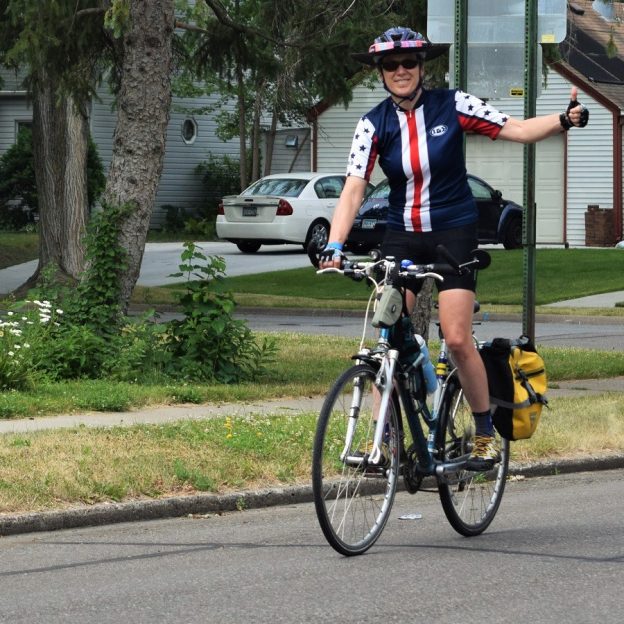
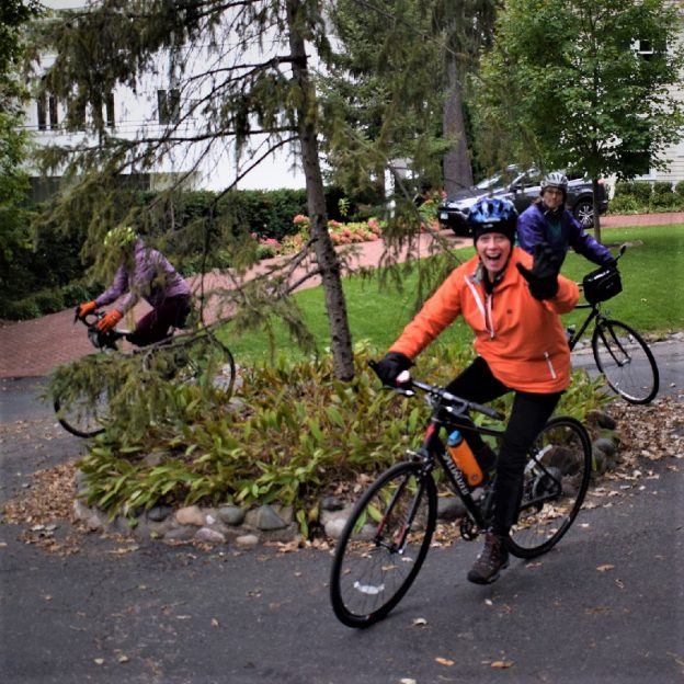
Bic Pic Oct 2, Wise Wednesdays Shows Helmet Brims Block the Sun
This Wise Wednesday, consider a wide brim for those sunny days
-
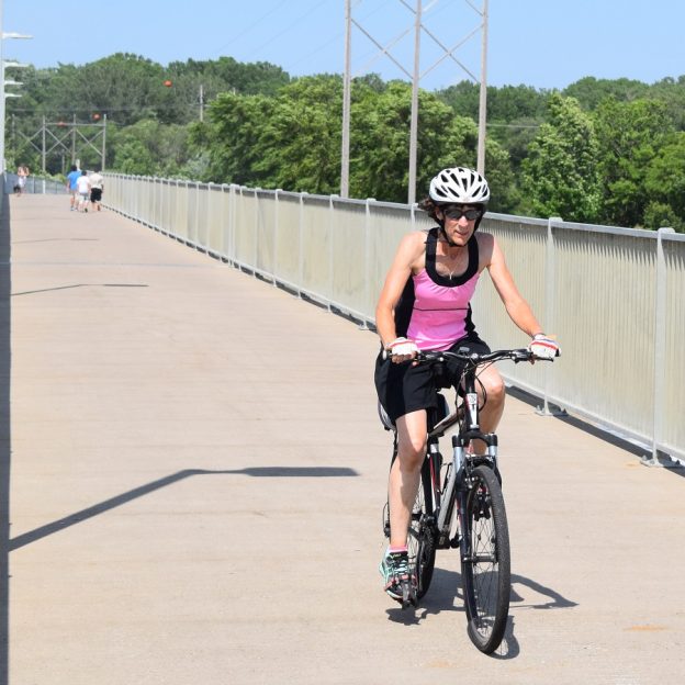
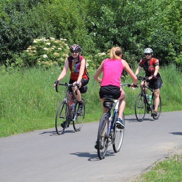
Bike Pic July 22, fun along the Mississippi River Trail
This Saturday, ride the Mississippi River Trail
-
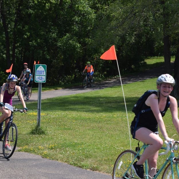
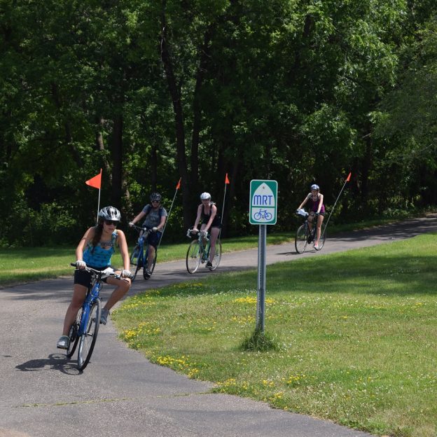
Bike Pic July 18, Mississippi River Trail, with round-the-river loops
This Tuesday, bike along Ol’ Man River on the MRT, for a round-the-river loop
-
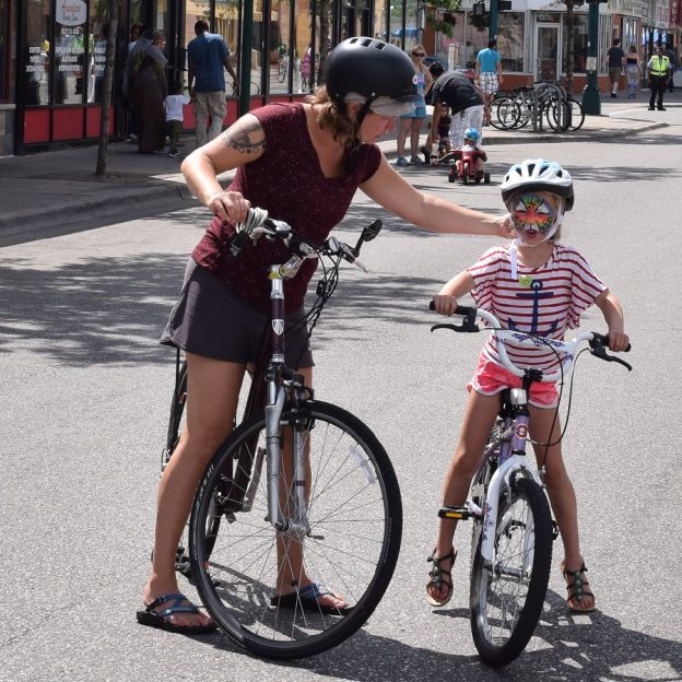
Bike Pic Oct 31, trying on faces in preparation for Halloween
This Monday, have a safe and fun Halloween!
-
Anoka’s Halloween makes a fun setting for a fall trail ride
With Halloween just around the corner, Anokw offers many fall trail riding options in and around the city. The charm of this riverfront community is everywhere that you turn, especially the last week in October. One of ten towns of the Twin Cities Gateway, Anoka is the Halloween Capital of the World and offers a…
-
The music in Shoreview will have you dancing on your pedals to natures beat
The trails here in Shoreview can be your playground for you and your bike – there’s nowhere you can’t go. This Twin Cities Gateway community here offers friendly road routes, trails, and sidewalks so you can take another bike journey wherever you wish. The city also offers some off-road paved trails to get closer to…
-
The Coon Rapids 10-mile bike loop makes it easy to connect and discover
Named for the turbulent waters in the Mississippi River at the mouth of Coon Creek, the city of Coon Rapids is a fun place to explore on the 10-mile bike loop. One of the nine communities in the Twin Cities Gateway it’s a perfect destination for a bike vacation with all the trail opportunities that…
-
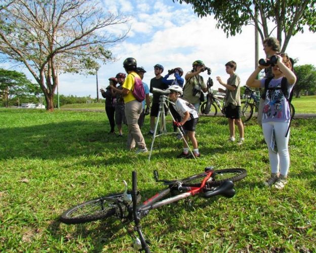
Bike/Birding hot spots in the Twin Cities Gateway area to enjoy
With spring here, we wanted to share another bike/birding hotspot we have enjoyed over the years that you may want to add to your True North list of places to explore. Check out several bike trails in the north suburbs of the Twin Cities Gateway this spring and summer. While ground-truthing the maps for the…
-
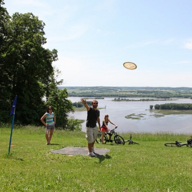
Ride your bike to some disc golf fun in the Twin Cities Gateway
With spring around the corner, for those that love disc golf or are eager to learn, you will find your next fun-filled game at one of the many courses in the Twin Cities Gateway. All are easy to access from the bike-friendly roads and trails in the area. Throughout the nine cities of the Gateway,…
-

Pedal, then Paddle the TC Gateways Rice Creek Chain of Lakes
For a wildlife-rich summer, experience not soon forgotten, pedal, then paddle, the Rice Creek Chain of Lakes up in the Twin Cities Gateway Area. With an abundance of bike trails and roads to get there, you will find several options at Wargo Nature Center once arriving. Head out with a paddle, hike, or bike the…