Tag: MN Bike experience
-
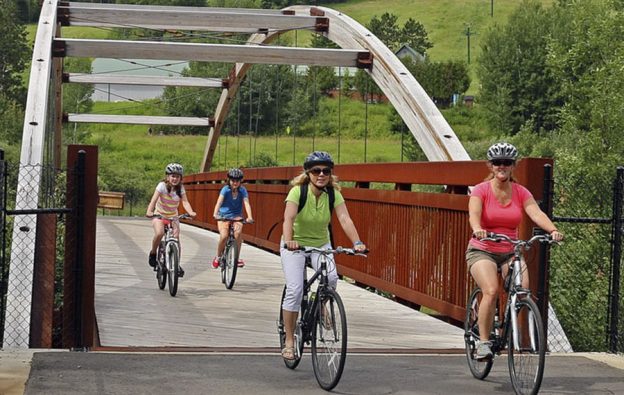
Many Bike/Hike/Paddle adventures await you in the Mesabi Trail Towns
In Minnesota’s north mining region, the towns along the Mesabi Trail host several of the state’s historical gems. They are a fun family destination to explore by bike, foot, or with a paddle. In this pristine area of the state, you will find over 28 small mining communities along this well-known paved trail system. With…
-
Hastings’s 10-mile trail loop allows bicyclists scenery along two rivers
Biking along the Mississippi River Trail (MRT) is just one of the many fun opportunities cyclists can enjoy when visiting Hastings, MN. As this historic river town expands its bicycle infrastructure, I had to return to Hastings last fall to check out the completed 10-mile trail loop.
-
Biking around Albert Lea may add a little Rock n’ Roll to your ride
Now that summer is here and many traditional outdoor activities are coming to the top of my list, I have a big decision to make. With my new e-bike, where should I go for my first out-of-town weekend bike getaway? One of my favorites is Albert Lea, Minnesota, A one-tank getaway that offers a beautiful…